1999 Atlantic Hurricane Season Name List


![[GIF]](atl_1_arlene99_plot.gif) Track Map
Track Map
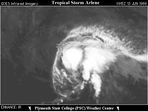
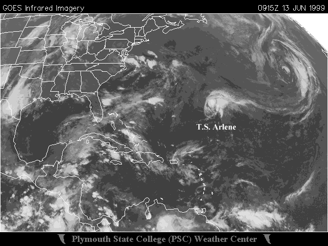 Large Satellite View
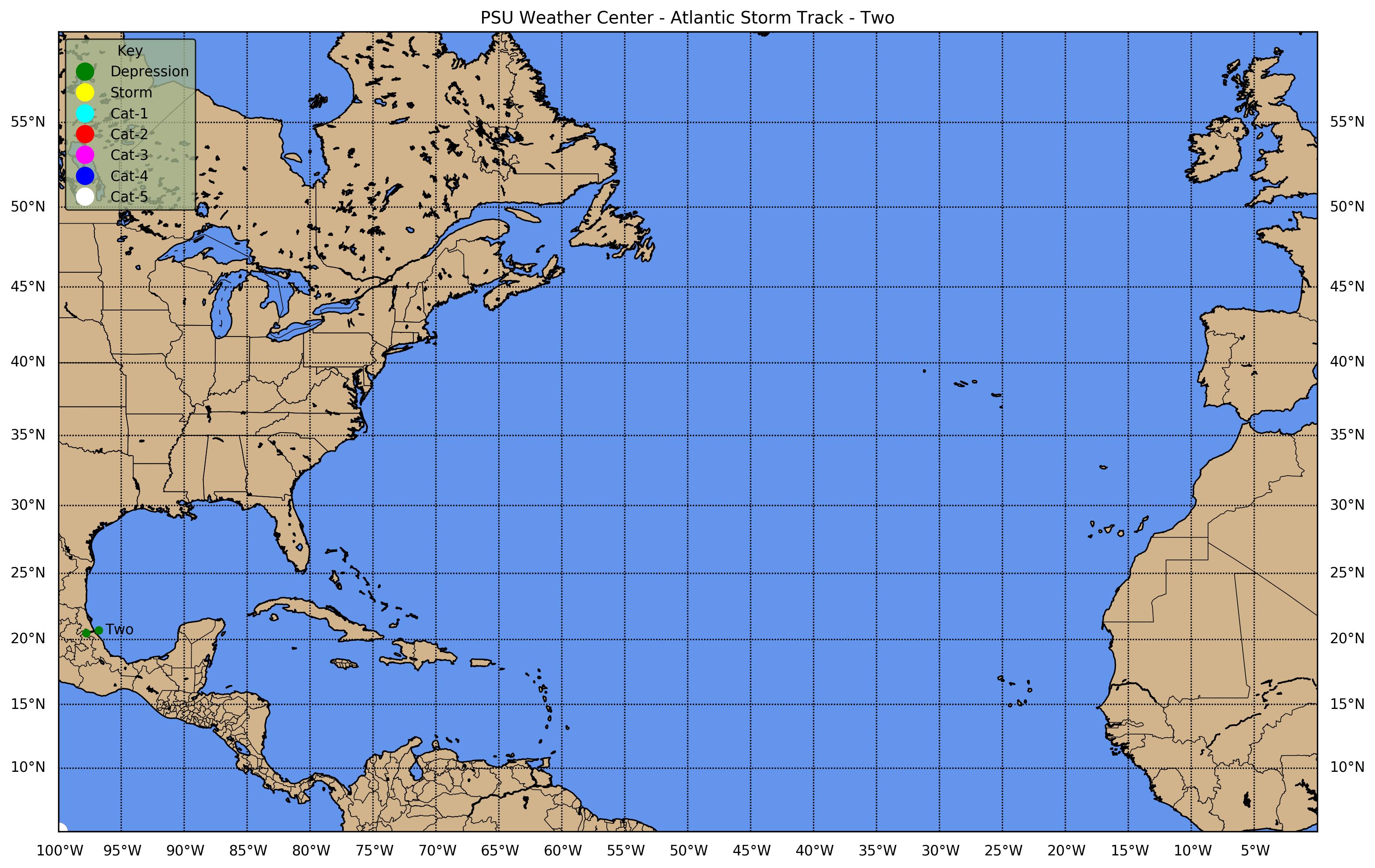
![[GIF]](atl_2_two99_plot.gif) Track Map
Track Map
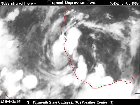
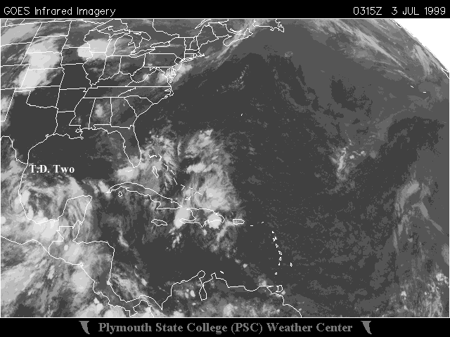 Large Satellite View


![[GIF]](atl_3_bret99_plot.gif) Track Map
Track Map
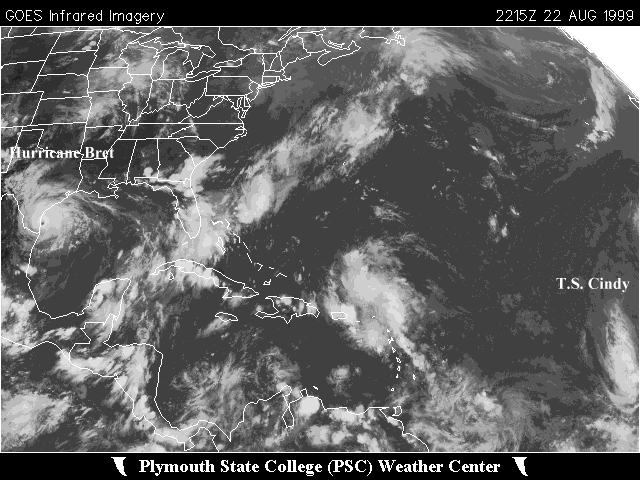 Large Satellite View
Radar - Browsnville (BRO):
 Storm Total Precipitation
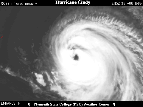

![[GIF]](atl_4_cindy99_plot.gif) Track Map
Track Map
 Large Satellite View
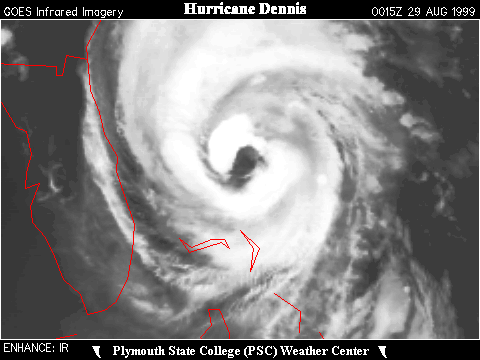

![[GIF]](atl_5_dennis99_plot.gif) Track Map
Track Map
 Large Satellite View

![[GIF]](atl_6_emily99_plot.gif) Track Map
Track Map
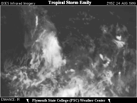
 Large Satellite View

![[GIF]](atl_7_seven99_plot.gif) Track Map
Track Map
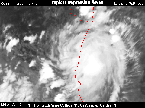
 Large Satellite View


![[GIF]](atl_8_floyd99_plot.gif) Track Map
Track Map
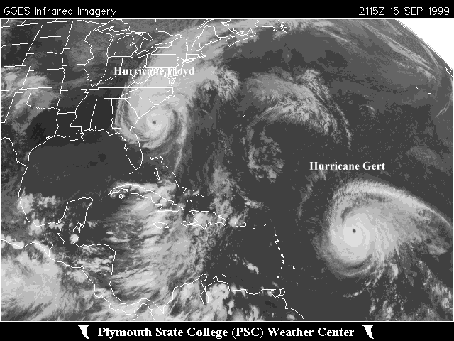
 Large Satellite View


![[GIF]](atl_9_gert99_plot.gif) Track Map
Track Map
 Large Satellite View

![[GIF]](atl_10_harvey99_plot.gif) Track Map
Track Map
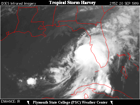
 Large Satellite View
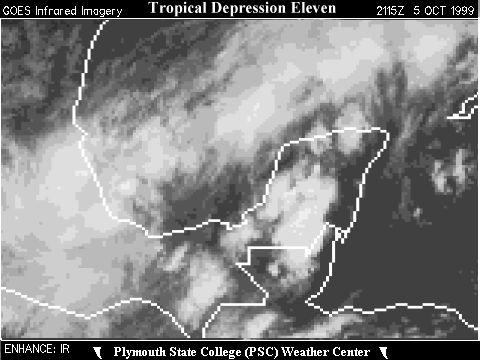

![[GIF]](atl_11_eleven99_plot.gif) Track Map
Track Map
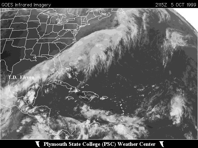 Large Satellite View


![[GIF]](atl_12_twelve99_plot.gif) Track Map
Track Map
 Large Satellite View


![[GIF]](atl_13_irene99_plot.gif) Track Map
Track Map
 Large Satellite View
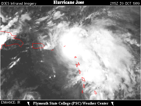

![[GIF]](atl_14_jose99_plot.gif) Track Map
Track Map
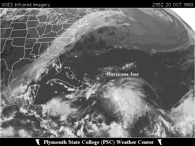 Large Satellite View

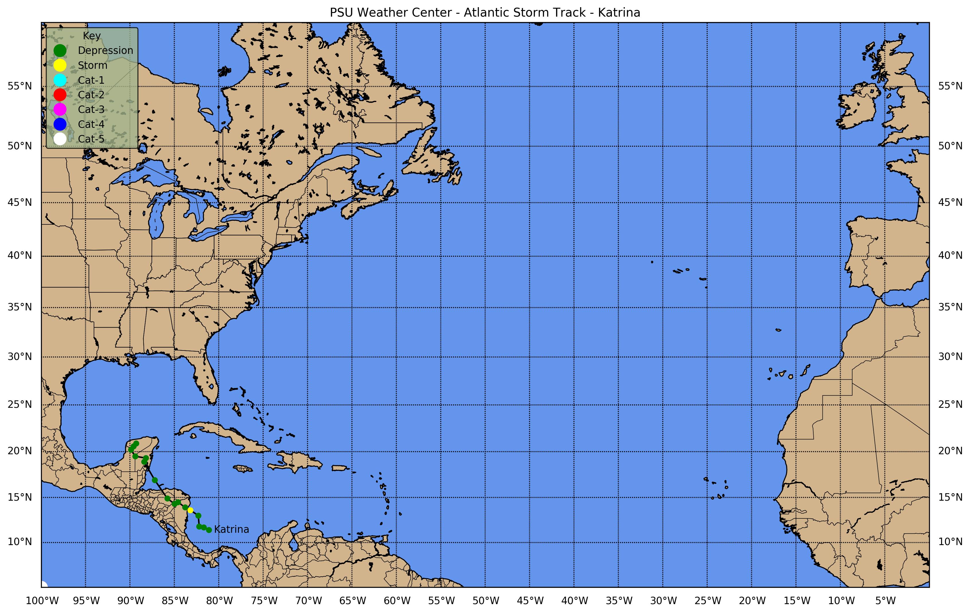
![[GIF]](atl_15_katrina99_plot.gif) Track Map
Track Map
 Large Satellite View
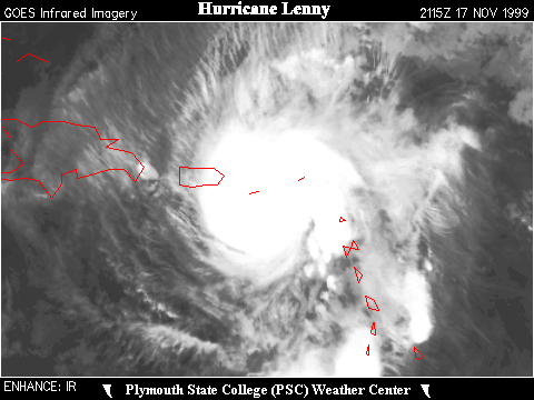

![[GIF]](atl_16_lenny99_plot.gif) Track Map
Track Map
 Large Satellite View