2002 Atlantic Hurricane Season Name List


![[GIF]](atl_01_arthur02_plot.gif) Track Map
Track Map
 Large Satellite View
 Zoomed IR Satellite View


![[GIF]](atl_02_bertha02_plot.gif) Track Map
Track Map
 Large Satellite View
 Zoomed IR Satellite View


![[GIF]](atl_03_cristobal02_plot.gif) Track Map
Track Map
 Large Satellite View
 Zoomed IR Satellite View


![[GIF]](atl_04_dolly02_plot.gif) Track Map
Track Map
 Large Satellite View
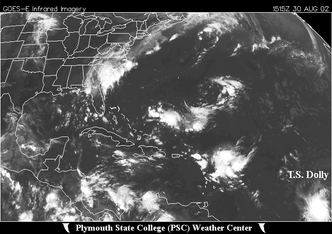
 Zoomed IR Satellite View


![[GIF]](atl_05_edouard02_plot.gif) Track Map
Track Map
 Large Satellite View
 Zoomed IR Satellite View

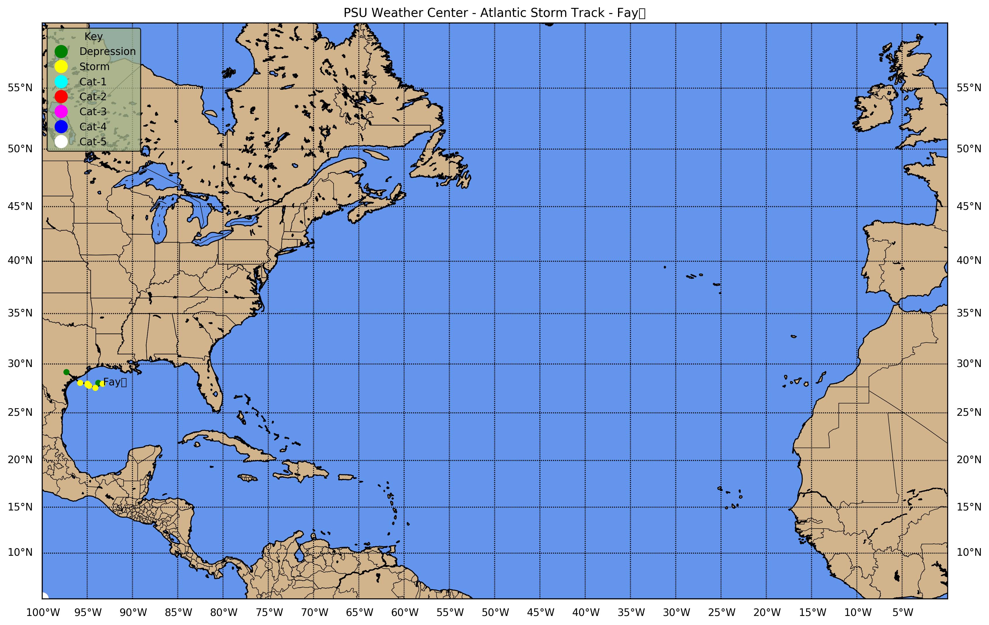
![[GIF]](atl_06_fay02_plot.gif) Track Map
Track Map
 Large Satellite View
 Zoomed IR Satellite View


![[GIF]](atl_07_seven02_plot.gif) Track Map
Track Map
 Large Satellite View
 Zoomed IR Satellite View


![[GIF]](atl_08_gustav02_plot.gif) Track Map
Track Map
 Large Satellite View
 Zoomed IR Satellite View


![[GIF]](atl_09_hanna02_plot.gif) Track Map
Track Map
 Large Satellite View
 Zoomed IR Satellite View


![[GIF]](atl_10_isidore02_plot.gif) Track Map
Track Map
 Large Satellite View
 Zoomed IR Satellite View


![[GIF]](atl_11_josephine02_plot.gif) Track Map
Track Map
 Large Satellite View
 Zoomed IR Satellite View


![[GIF]](atl_12_kyle02_plot.gif) Track Map
Track Map
 Large Satellite View
 Zoomed IR Satellite View


![[GIF]](atl_13_lili02_plot.gif) Track Map
Track Map
 Large Satellite View
 Zoomed IR Satellite View
![[GIF]](atl_13_lili02v_an.gif) Short 1-km Visible Loop
Short 1-km Visible LoopRadar:
Meteogram:
 Lafayette (LA)


![[GIF]](atl_14_fourteen02_plot.gif) Track Map
Track Map
 Large Satellite View
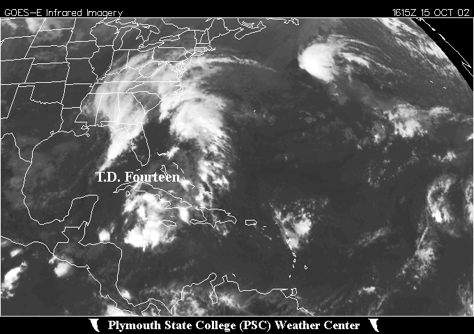
 Zoomed IR Satellite View