2004 Atlantic Hurricane Season Name List


![[GIF]](atl_01_alex04_plot.gif) Track Map
Track Map
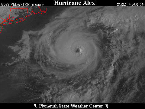
 Large Satellite View
 Zoomed IR Satellite View
JSANI Satellite Loop:


![[GIF]](atl_02_two04_plot.gif) Track Map
Track Map
 Large Satellite View
 Zoomed IR Satellite View


![[GIF]](atl_02_bonnie04_plot.gif) Track Map
Track Map
 Large Satellite View
 Zoomed IR Satellite View
Radar:

![[GIF]](atl_03_charley04_plot.gif) Track Map
Track Map
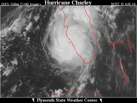
 Large Satellite View
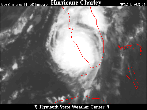 Zoomed IR Satellite View
JSANI Satellite Loop:
FLASH Satellite Loop:
Radar:

![[GIF]](atl_04_danielle04_plot.gif) Track Map
Track Map
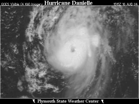
 Large Satellite View
 Zoomed IR Satellite View

![[GIF]](atl_05_earl04_plot.gif) Track Map
Track Map
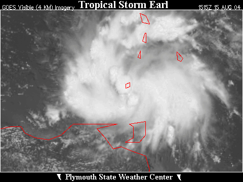
 Large Satellite View
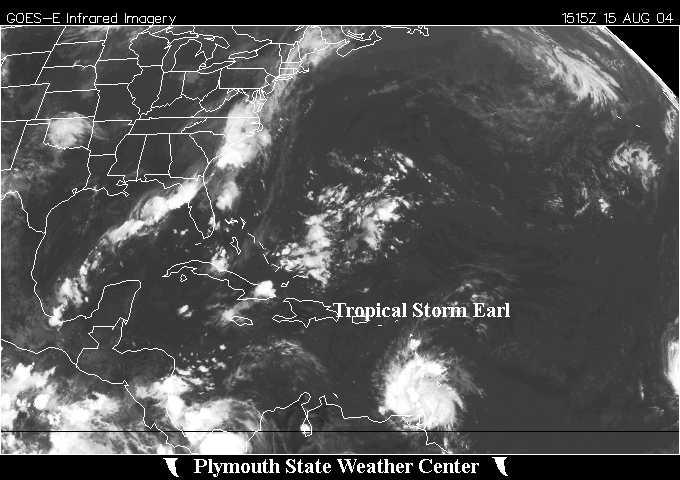
 Zoomed IR Satellite View


![[GIF]](atl_06_frances04_plot.gif) Track Map
Track Map
 Large Satellite View
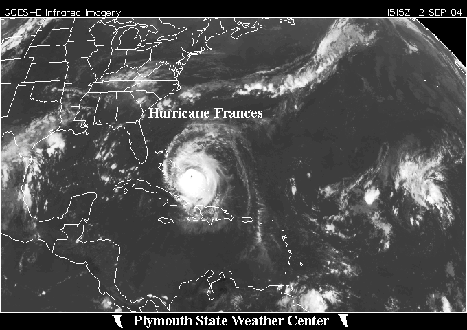
 Zoomed IR Satellite View
Radar:

![[GIF]](atl_07_gaston04_plot.gif) Track Map
Track Map
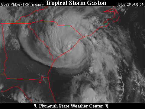
 Large Satellite View
 Zoomed IR Satellite View


![[GIF]](atl_08_hermine04_plot.gif) Track Map
Track Map
 Large Satellite View
 Zoomed IR Satellite View


![[GIF]](atl_09_ivan04_plot.gif) Track Map
Track Map
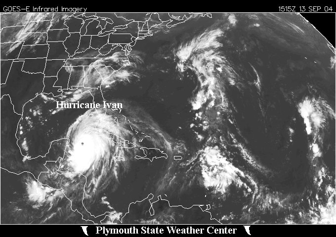 Large Satellite View
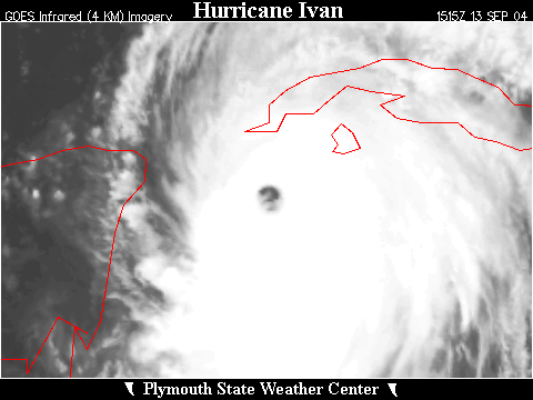 Zoomed IR Satellite View
Radar:

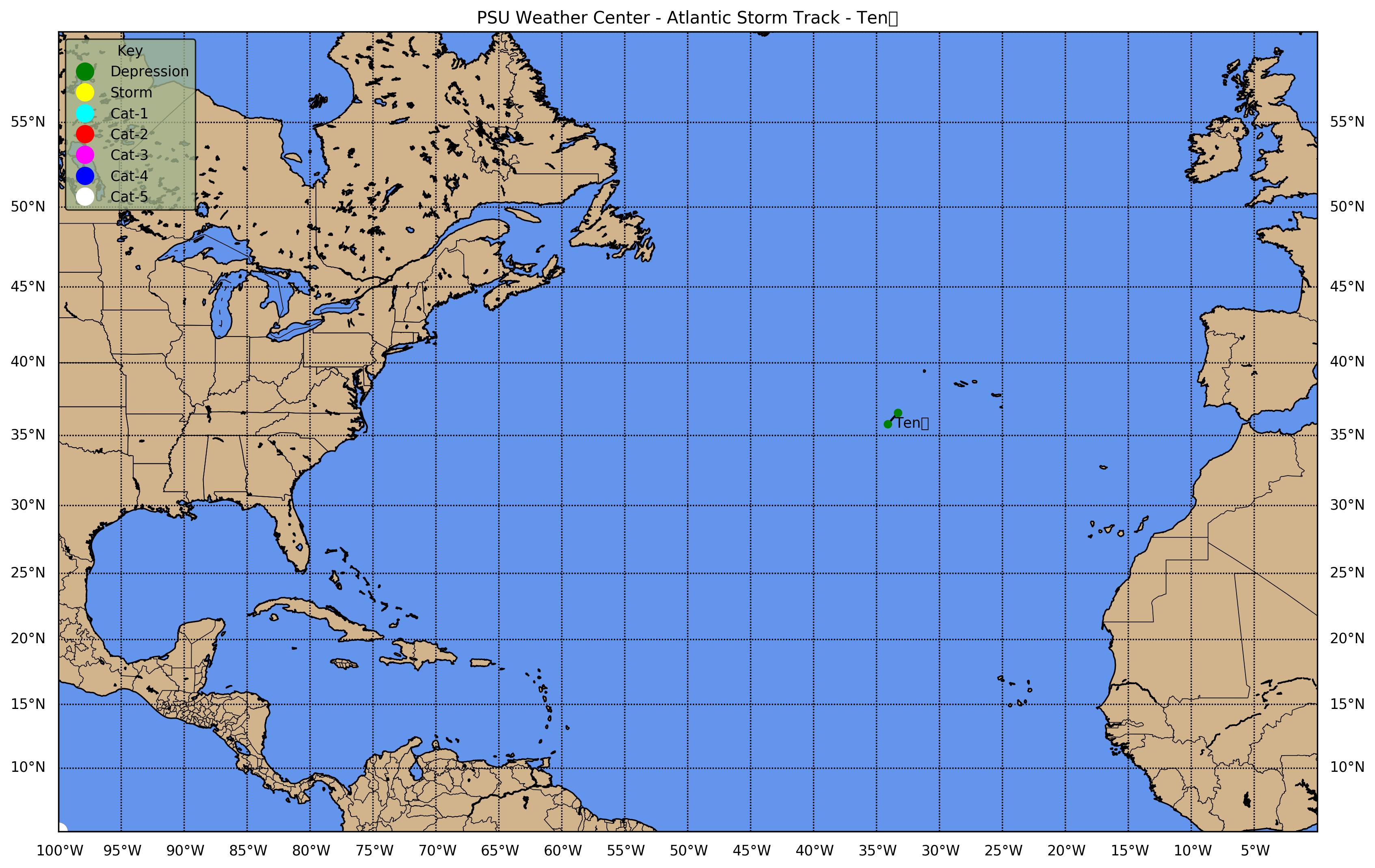
![[GIF]](atl_10_ten04_plot.gif) Track Map
Track Map
 Large Satellite View
 Zoomed IR Satellite View

![[GIF]](atl_11_jeanne04_plot.gif) Track Map
Track Map
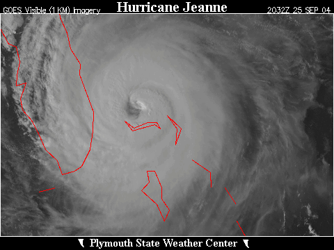
 Large Satellite View
 Zoomed IR Satellite View
Radar:

![[GIF]](atl_12_karl04_plot.gif) Track Map
Track Map
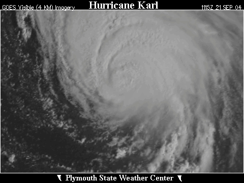
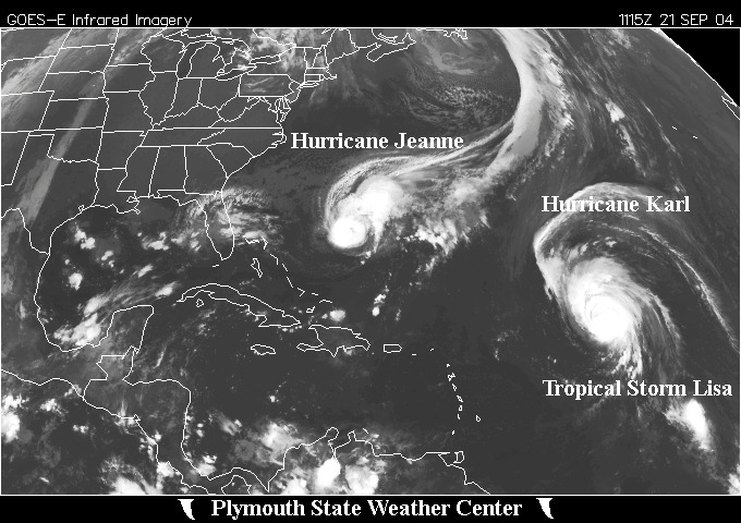 Large Satellite View
 Zoomed IR Satellite View


![[GIF]](atl_13_lisa04_plot.gif) Track Map
Track Map
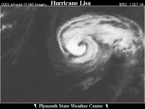
 Large Satellite View
 Zoomed IR Satellite View

![[GIF]](atl_14_matthew04_plot.gif) Track Map
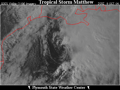
Track Map
 Large Satellite View
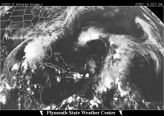
 Zoomed IR Satellite View

![[GIF]](atl_15_nicole04_plot.gif) Track Map
Track Map
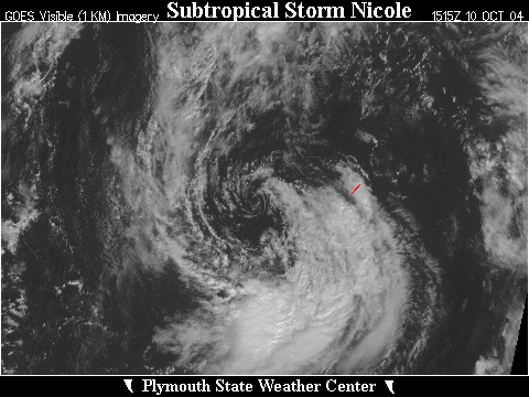
 Large Satellite View
 Zoomed IR Satellite View


![[GIF]](atl_16_otto04_plot.gif) Track Map
Track Map
 Large Satellite View
 Zoomed IR Satellite View