2004 East Pacific Hurricane Season Name List


![[GIF]](pac_01_agatha04_plot.gif) Track Map
Track Map
 Large Satellite View
 Zoomed IR Satellite View


![[GIF]](pac_02_two-e04_plot.gif) Track Map
Track Map
 Large Satellite View
 Zoomed IR Satellite View


![[GIF]](pac_03_blas04_plot.gif) Track Map
Track Map
 Large Satellite View
 Zoomed IR Satellite View


![[GIF]](pac_04_celia04_plot.gif) Track Map
Track Map
 Large Satellite View
 Zoomed IR Satellite View


![[GIF]](pac_05_darby04_plot.gif) Track Map
Track Map
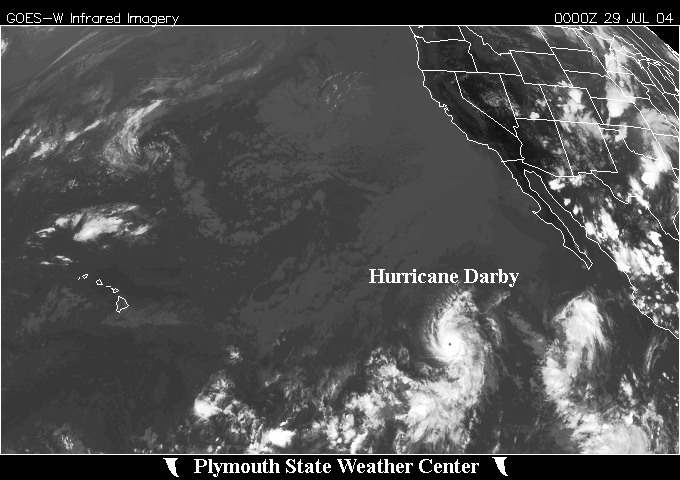 Large Satellite View
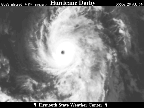 Zoomed IR Satellite View


![[GIF]](pac_06_six-e04_plot.gif) Track Map
Track Map
 Large Satellite View
 Zoomed IR Satellite View


![[GIF]](pac_07_estelle04_plot.gif) Track Map
Track Map
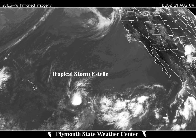 Large Satellite View
 Zoomed IR Satellite View

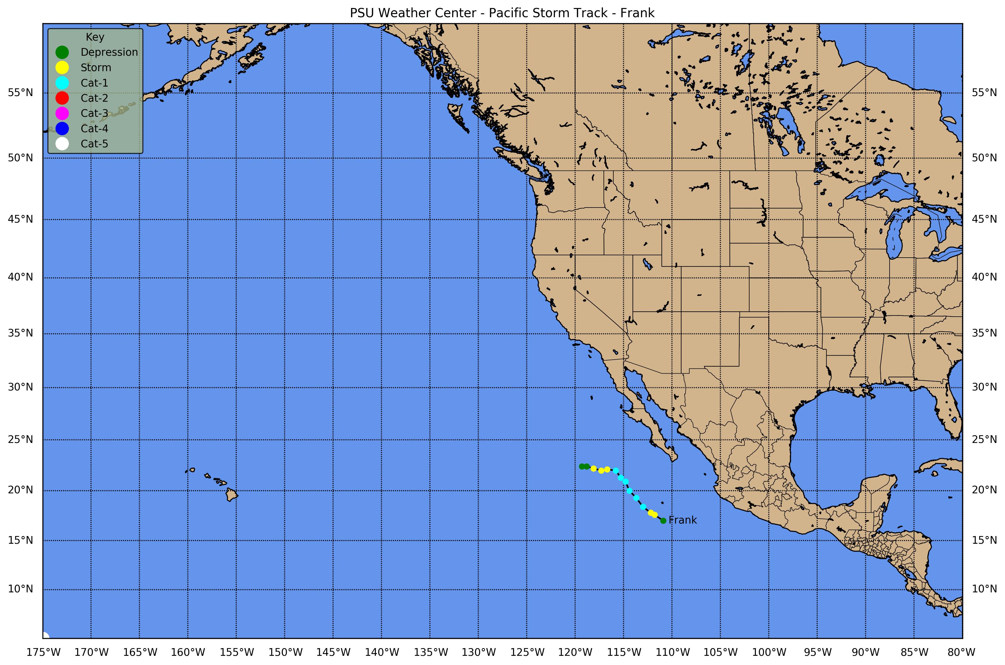
![[GIF]](pac_08_frank04_plot.gif) Track Map
Track Map
 Large Satellite View
 Zoomed IR Satellite View


![[GIF]](pac_09_nine-e04_plot.gif) Track Map
Track Map
 Large Satellite View
 Zoomed IR Satellite View


![[GIF]](pac_10_georgette04_plot.gif) Track Map
Track Map
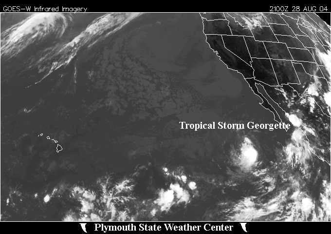 Large Satellite View
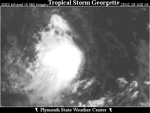 Zoomed IR Satellite View


![[GIF]](pac_11_howard04_plot.gif) Track Map
Track Map
 Large Satellite View
 Zoomed IR Satellite View


![[GIF]](pac_12_isis04_plot.gif) Track Map
Track Map
 Large Satellite View
 Zoomed IR Satellite View


![[GIF]](pac_13_javier04_plot.gif) Track Map
Track Map
 Large Satellite View
 Zoomed IR Satellite View


![[GIF]](pac_14_kay04_plot.gif) Track Map
Track Map
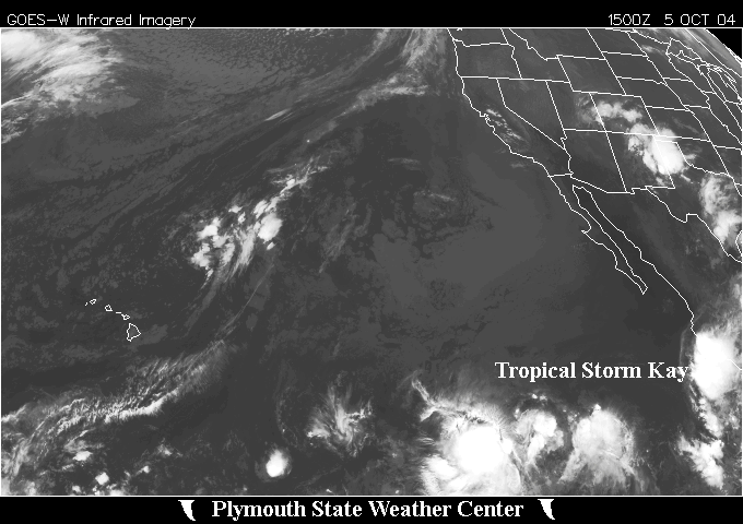 Large Satellite View
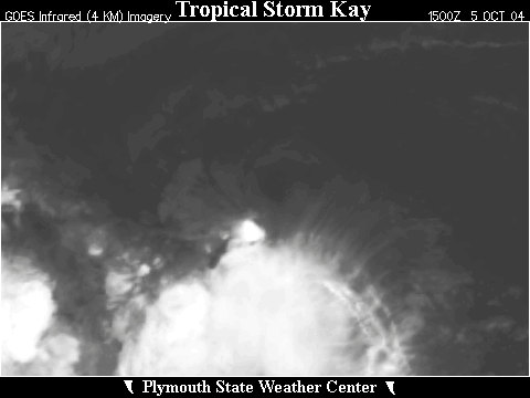 Zoomed IR Satellite View
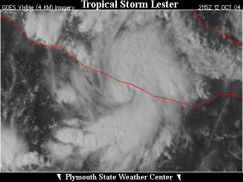

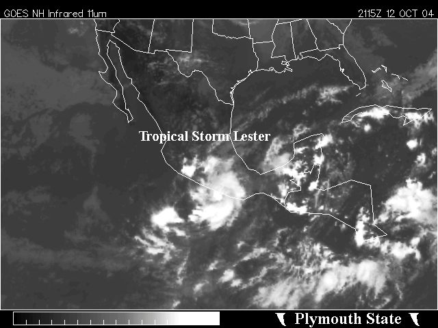
![[GIF]](pac_15_lester04_plot.gif) Track Map
Track Map
 Large Satellite View
 Zoomed IR Satellite View
Tropical Depression Sixteen-E (25-26 October 2004)


![[GIF]](pac_16_sixteen-e04_plot.gif) Track Map
Track Map
 Large Satellite View
 Zoomed IR Satellite View