2010 Atlantic Hurricane Season Name List
 eight="736">
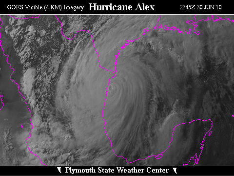

![[GIF]](atl_01_alex10_plot.gif) Track Map
Track Map
 Large Satellite View
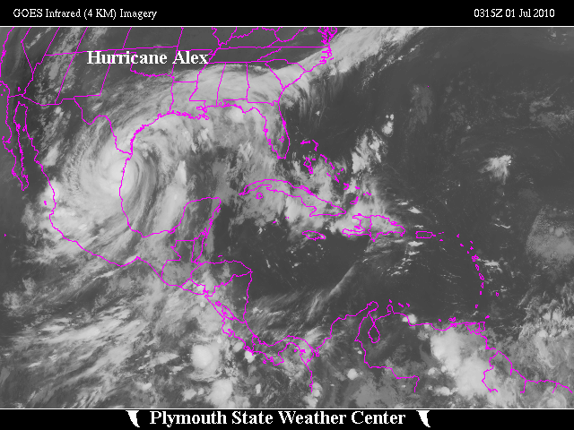
 Zoomed IR Satellite View
Radar -Brownsville (BRO):
![[GIF]](atl_01_alex10_BRO_ntp.gif) Storm Total Precipitation
Storm Total Precipitation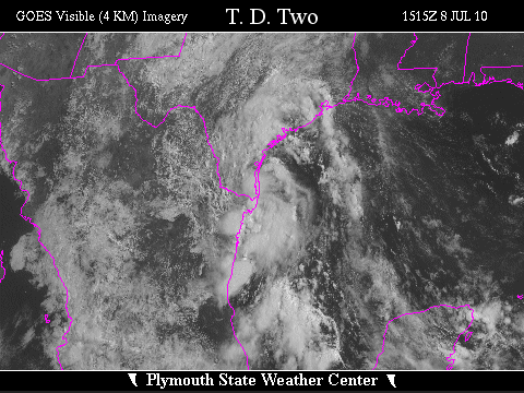

![[GIF]](atl_02_two10_plot.gif) Track Map
Track Map
 Large Satellite View
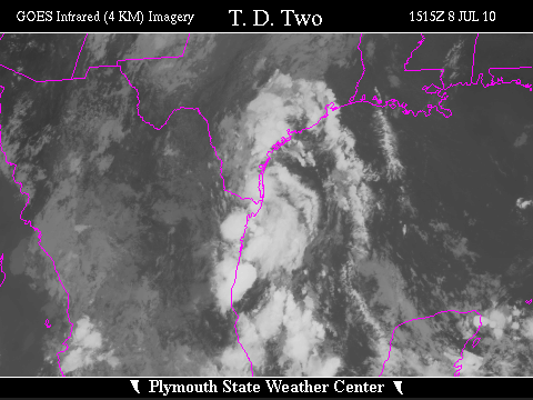 Zoomed IR Satellite View
Radar - Brownsville (BRO):
![[GIF]](atl_02_two10_BRO_ntp.gif) Storm Total Precipitation
Storm Total Precipitation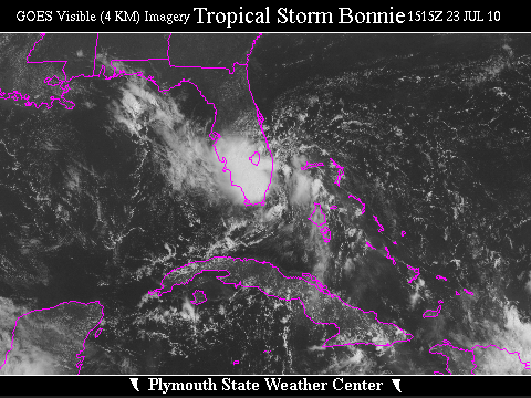

![[GIF]](atl_03_bonnie10_plot.gif) Track Map
Track Map
 Large Satellite View
 Zoomed IR Satellite View

![[GIF]](atl_04_colin10_plot.gif) Track Map
Track Map
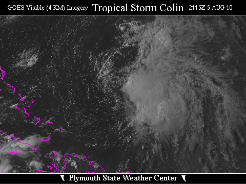
 Large Satellite View
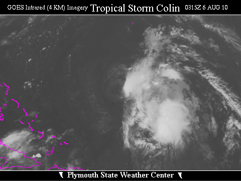 Zoomed IR Satellite View
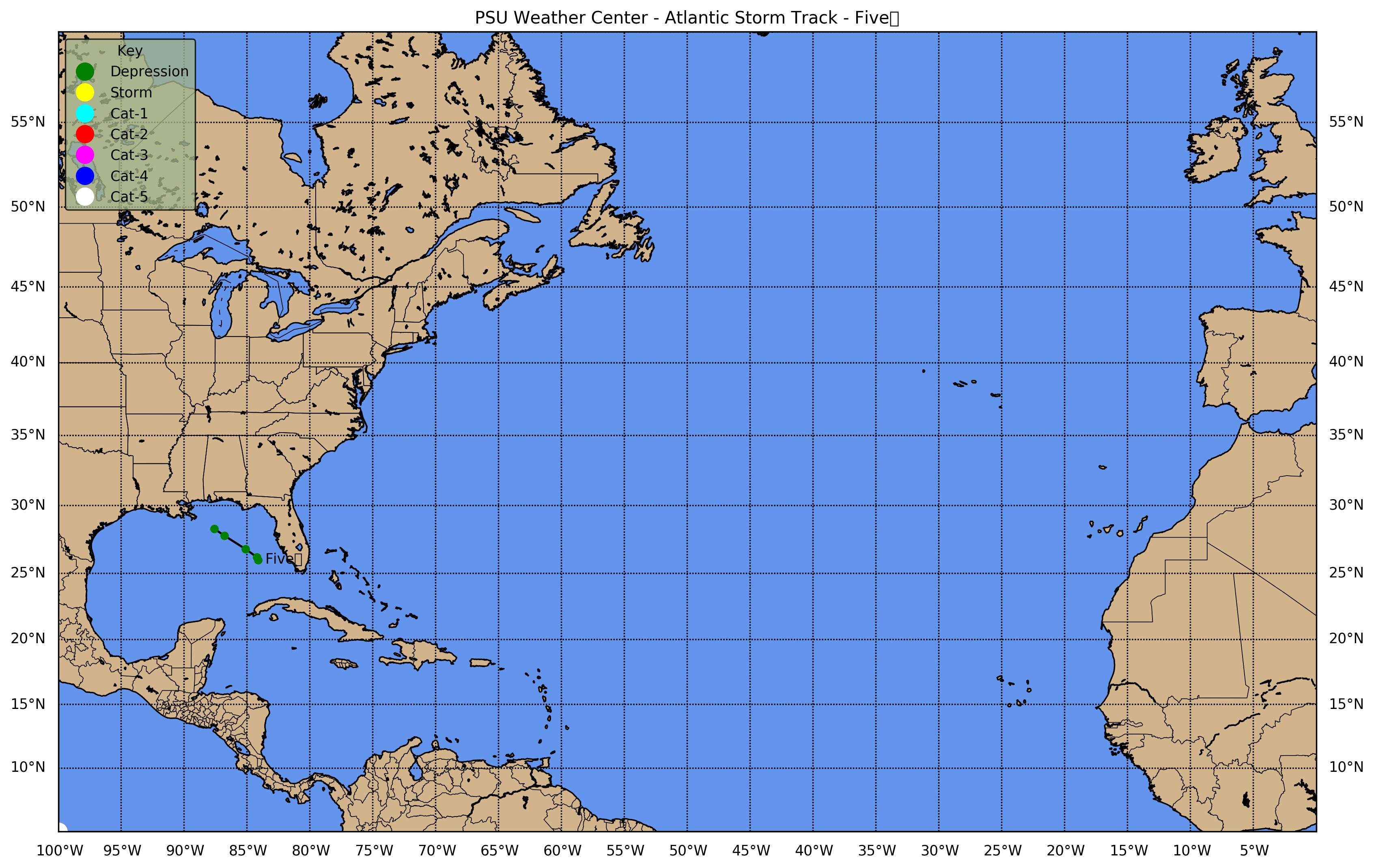
![[GIF]](atl_05_five10_plot.gif) Track Map
Track Map
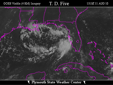
 Large Satellite View
 Zoomed IR Satellite View
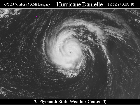

![[GIF]](atl_06_danielle10_plot.gif) Track Map
Track Map
 Large Satellite View
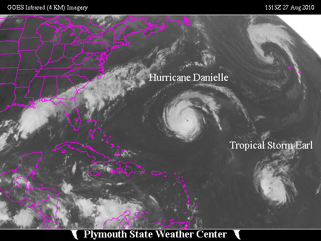
 Zoomed IR Satellite View

![[GIF]](atl_07_earl10_plot.gif) Track Map
Track Map
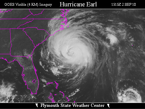
 Large Satellite View
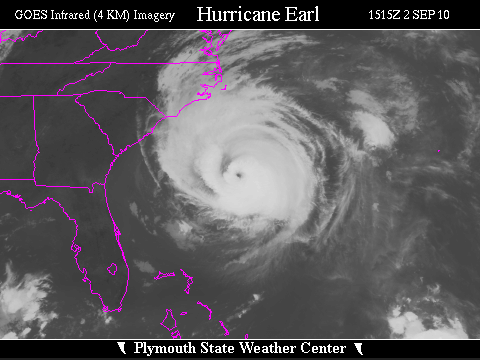 Zoomed IR Satellite View
Radar:
Storm Total Precipitation:
 Morehead City (MHX)
 Newport News (AKQ)
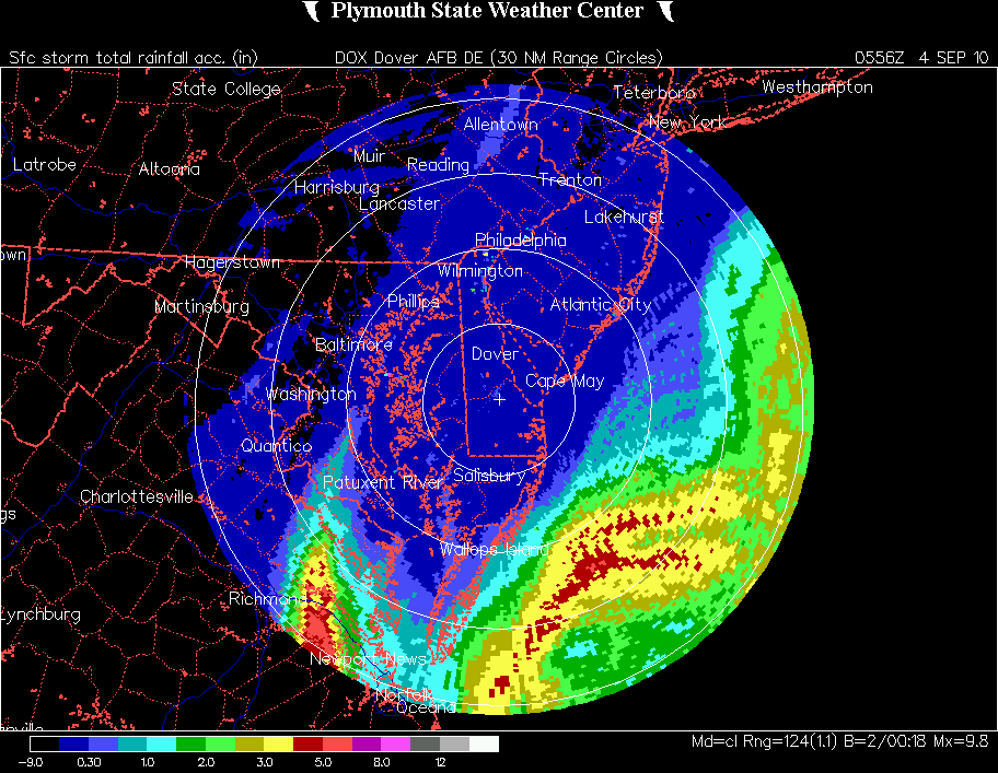 Dover AFB (DOX)
 Brookhaven (OKX)
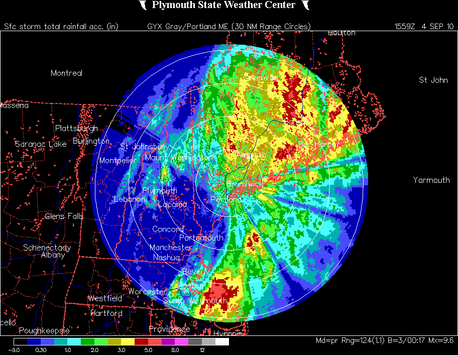 Gray (GYX)

![[GIF]](atl_08_fiona10_plot.gif) Track Map
Track Map
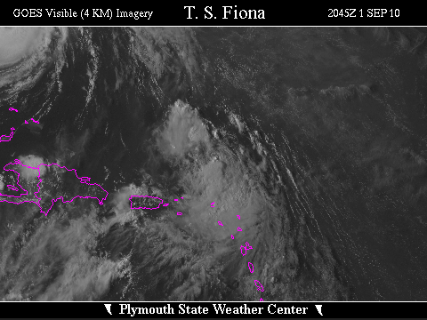
 Large Satellite View
 Zoomed IR Satellite View
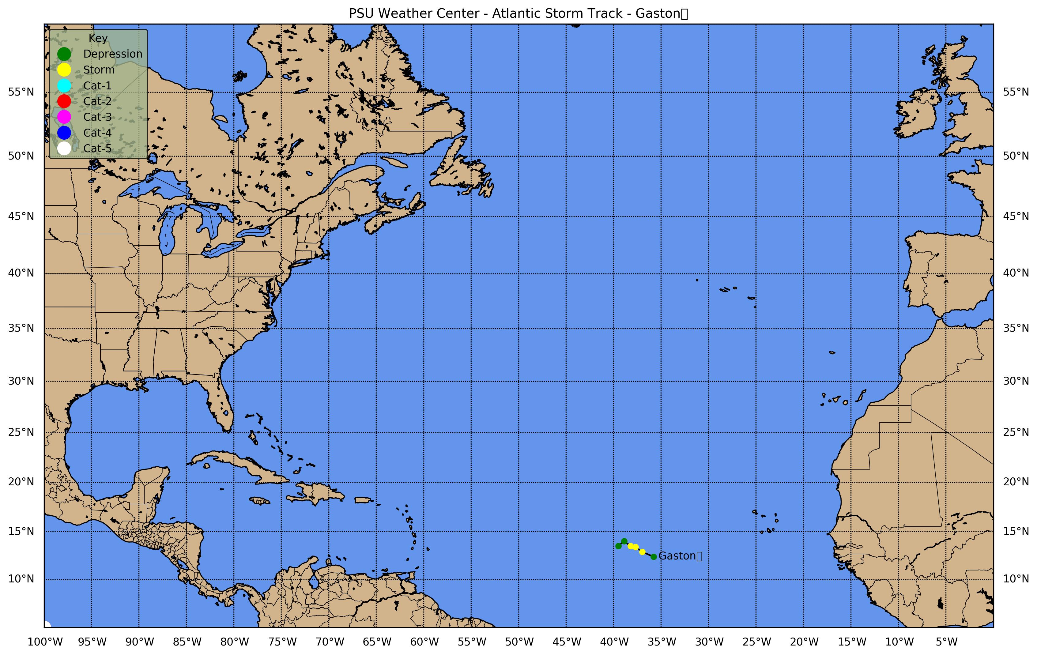
![[GIF]](atl_09_gaston10_plot.gif) Track Map
Track Map
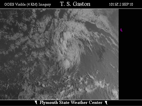
 Large Satellite View
 Zoomed IR Satellite View

![[GIF]](atl_10_hermine10_plot.gif) Track Map
Track Map
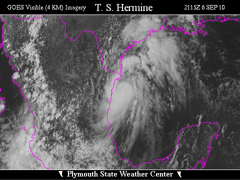
 Large Satellite View
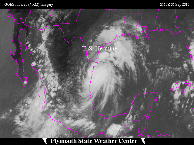
 Zoomed IR Satellite View
Radar:
Storm Total Precipitation:
 Brownsville (BRO)
 New Braunfels (EWX)
 Dallas/Fort Worth (FWS)
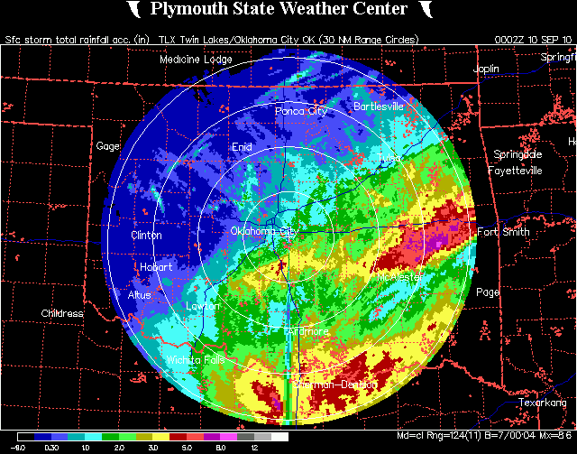 Oklahoma City (TLX)

![[GIF]](atl_11_igor10_plot.gif) Track Map
Track Map
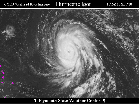
 Large Satellite View
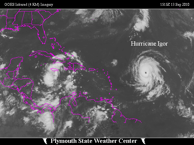
 Zoomed IR Satellite View

![[GIF]](atl_12_julia10_plot.gif) Track Map
Track Map
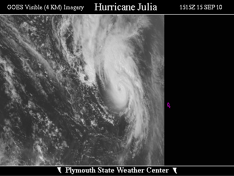
 Large Satellite View
 Zoomed IR Satellite View

![[GIF]](atl_13_karl10_plot.gif) Track Map
Track Map
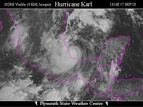
 Large Satellite View
 Zoomed IR Satellite View


![[GIF]](atl_14_lisa10_plot.gif) Track Map
Track Map
 Large Satellite View
 Zoomed IR Satellite View

![[GIF]](atl_15_matthew10_plot.gif) Track Map
Track Map
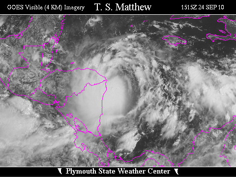
 Large Satellite View
 Zoomed IR Satellite View

![[GIF]](atl_16_nicole10_plot.gif) Track Map
Track Map
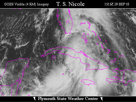
 Large Satellite View
 Zoomed IR Satellite View

![[GIF]](atl_17_otto10_plot.gif) Track Map
Track Map
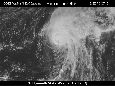
 Large Satellite View
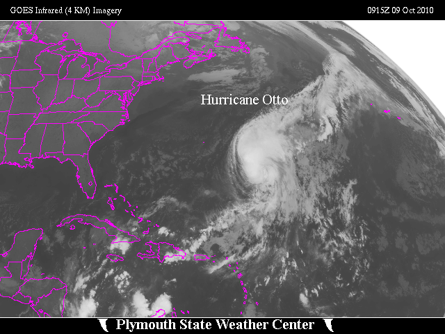
 Zoomed IR Satellite View
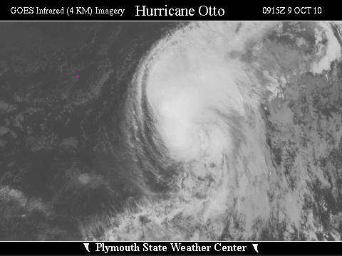


![[GIF]](atl_18_paula10_plot.gif) Track Map
Track Map
 Large Satellite View
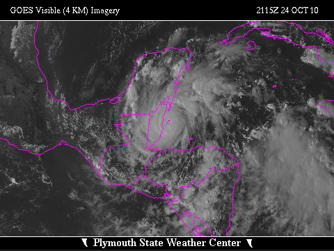
 Zoomed IR Satellite View

![[GIF]](atl_19_richard10_plot.gif) Track Map
Track Map
 Large Satellite View
 Zoomed IR Satellite View

![[GIF]](atl_20_shary10_plot.gif) Track Map
Track Map
 Large Satellite View
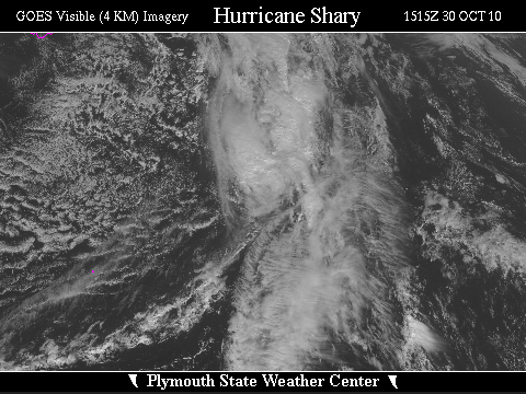
 Zoomed IR Satellite View

![[GIF]](atl_21_tomas10_plot.gif) Track Map
Track Map
 Large Satellite View
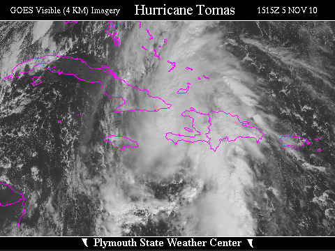
 Zoomed IR Satellite View