2011 Atlantic Hurricane Season Name List


![[GIF]](atl_01_arlene11_plot.gif) Track Map
Track Map
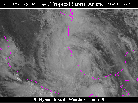
 Large Satellite View
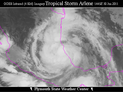 Zoomed IR Satellite View


![[GIF]](atl_02_bret11_plot.gif) Track Map
Track Map
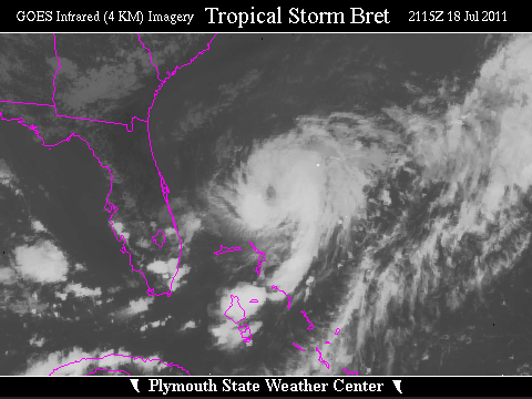
 Large Satellite View
 Zoomed IR Satellite View


![[GIF]](atl_03_cindy11_plot.gif) Track Map
Track Map
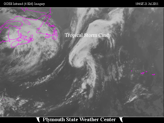 Large Satellite View
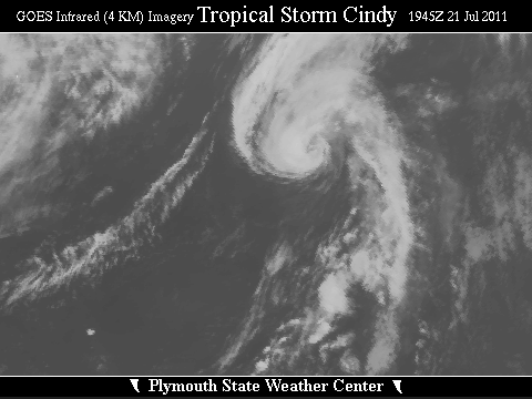 Zoomed IR Satellite View


![[GIF]](atl_04_don11_plot.gif) Track Map
Track Map
 Large Satellite View
 Zoomed IR Satellite View


![[GIF]](atl_05_emily11_plot.gif) Track Map
Track Map
 Large Satellite View
 Zoomed IR Satellite View


![[GIF]](atl_06_franklin11_plot.gif) Track Map
Track Map
 Large Satellite View
 Zoomed IR Satellite View


![[GIF]](atl_07_gert11_plot.gif) Track Map
Track Map
 Large Satellite View
 Zoomed IR Satellite View

![[GIF]](atl_08_harvey11_plot.gif) Track Map
Track Map
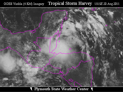
 Large Satellite View
 Zoomed IR Satellite View


![[GIF]](atl_09_irene11_plot.gif) Track Map
Track Map
 Large Satellite View
 Zoomed IR Satellite View
Radar:
 NEXRAD Composite Storm Total Precipitation to 28/1328Z
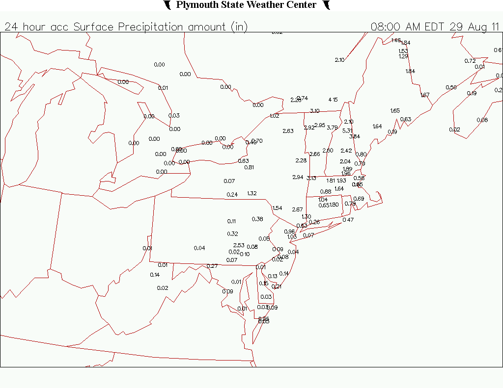
 NEXRAD Composite Storm Total Precipitation to 29/0302Z
24-Hour Precipitation Maps:
 28 Aug 2011
 29 Aug 2011
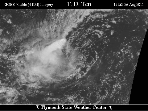

![[GIF]](atl_10_ten11_plot.gif) Track Map
Track Map
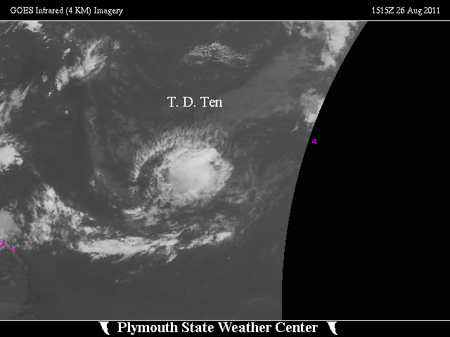 Large Satellite View
 Zoomed IR Satellite View


![[GIF]](atl_11_jose11_plot.gif) Track Map
Track Map
 Large Satellite View
 Zoomed IR Satellite View


![[GIF]](atl_12_katia11_plot.gif) Track Map
Track Map
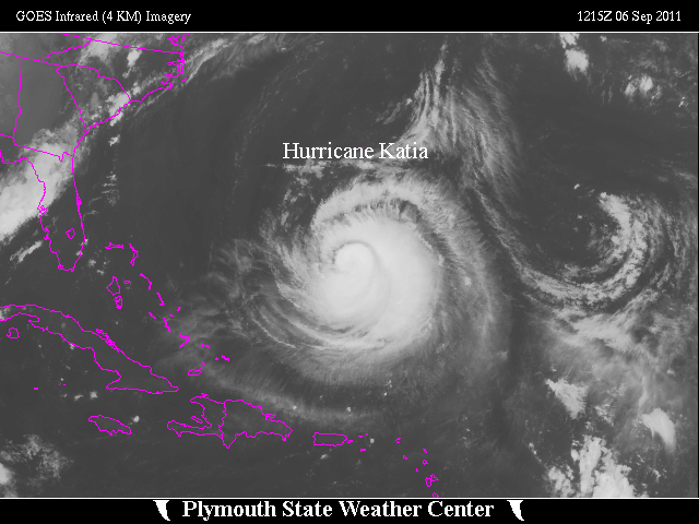 Large Satellite View
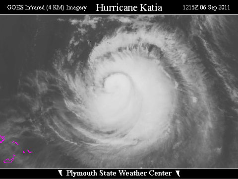 Zoomed IR Satellite View


![[GIF]](atl_13_lee11_plot.gif) Track Map
Track Map
 Large Satellite View
 Zoomed IR Satellite View
Radar:
 NEXRAD Composite Storm Total Preciptation to 5/1500Z
24-Hour Precipitation Maps:
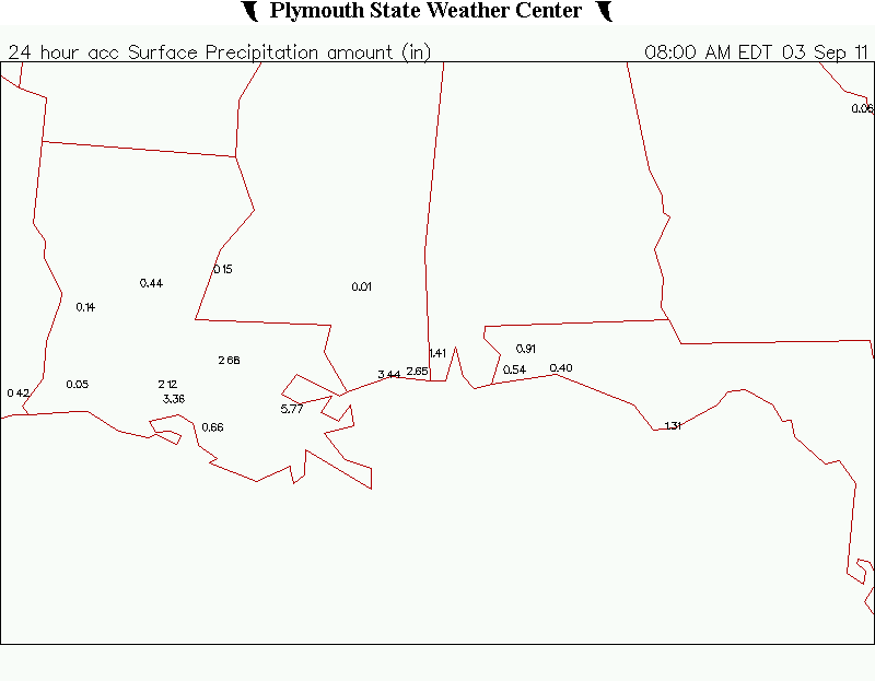 3 Sep 2011
 4 Sep 2011
 5 Sep 2011

![[GIF]](atl_14_maria11_plot.gif) Track Map
Track Map
 Large Satellite View
 Zoomed IR Satellite View
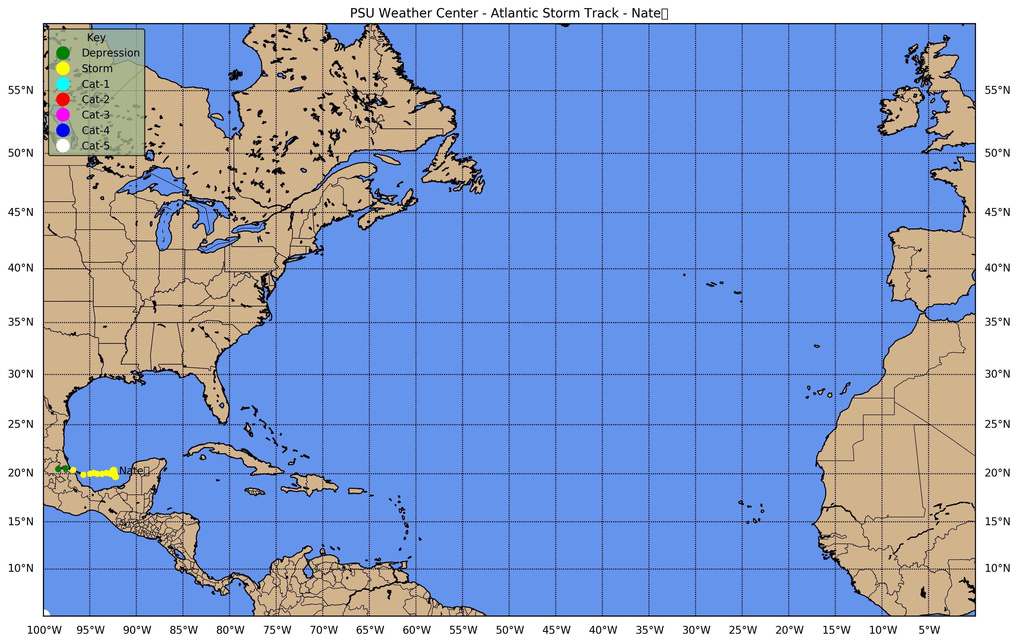
![[GIF]](atl_15_nate11_plot.gif) Track Map
Track Map
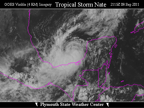
 Large Satellite View
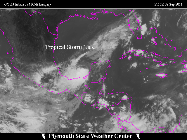
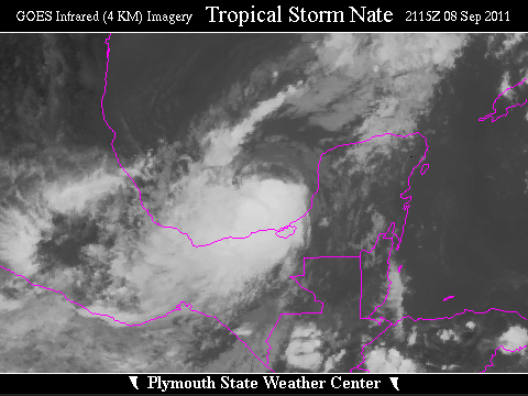 Zoomed IR Satellite View


![[GIF]](atl_16_ophelia11_plot.gif) Track Map
Track Map
 Large Satellite View
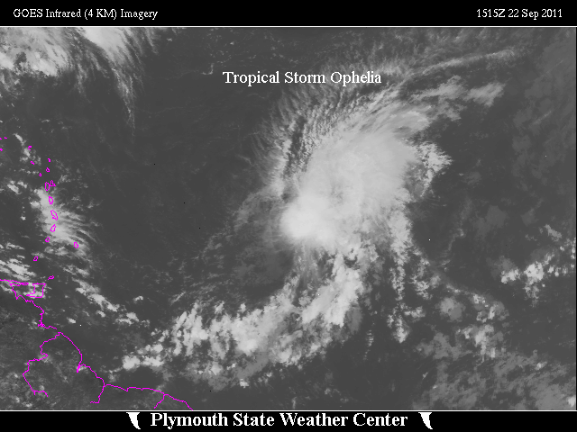
 Zoomed IR Satellite View
Pre-regeneration Images:
 Large Satellite View
 Zoomed IR Satellite View
 Zoomed Visible Satellite View

![[GIF]](atl_17_philippe11_plot.gif) Track Map
Track Map
 Large Satellite View
 Zoomed IR Satellite View

![[GIF]](atl_18_rina11_plot.gif) Track Map
Track Map
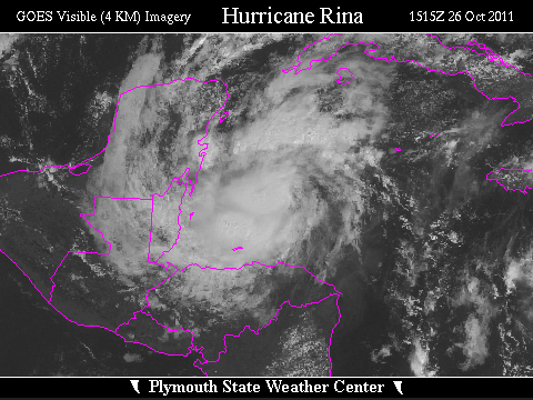
 Large Satellite View
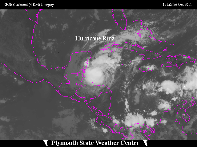
 Zoomed IR Satellite View

![[GIF]](atl_19_sean11_plot.gif) Track Map
Track Map
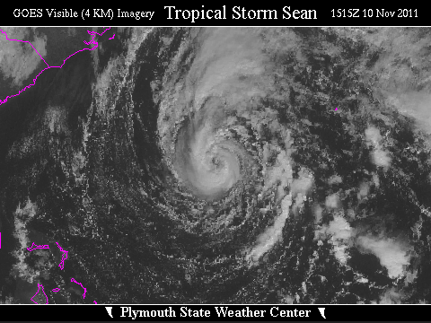
 Large Satellite View
 Zoomed IR Satellite View