2012 Atlantic Hurricane Season Name List


![[GIF]](atl_01_alberto12_plot.gif) Track Map
Track Map
 Large Satellite View
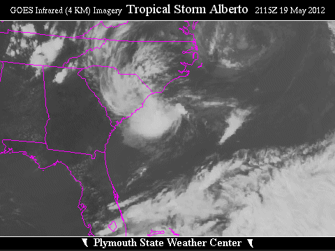 Zoomed IR Satellite View


![[GIF]](atl_02_beryl12_plot.gif) Track Map
Track Map
 Large Satellite View
 Zoomed IR Satellite View


![[GIF]](atl_03_chris12_plot.gif) Track Map
Track Map
 Large Satellite View
 Zoomed IR Satellite View


![[GIF]](atl_04_debby12_plot.gif) Track Map
Track Map
 Large Satellite View
 Zoomed IR Satellite View
Radar:
Storm Total Precipitation:
 Tampa Bay (TBW)
 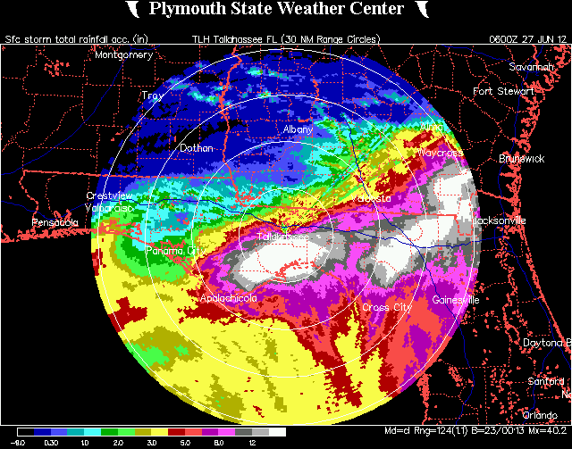 Tallahassee (TLH)
  Jacksonville (JAX)
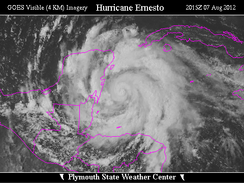

![[GIF]](atl_05_ernesto12_plot.gif) Track Map
Track Map
 Large Satellite View
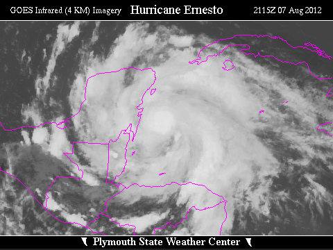 Zoomed IR Satellite View


![[GIF]](atl_06_florence12_plot.gif) Track Map
Track Map
 Large Satellite View
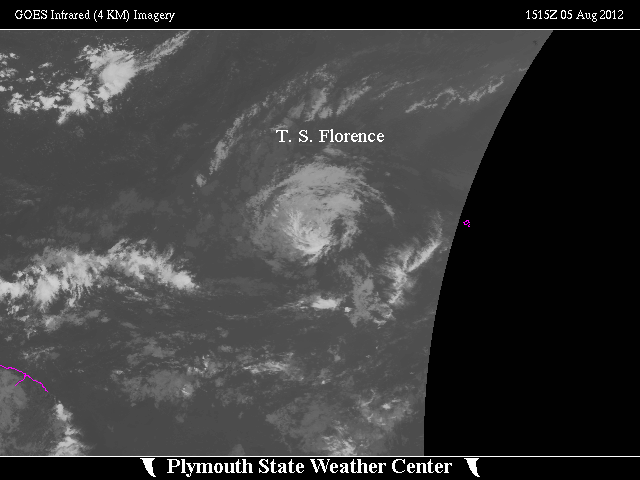
 Zoomed IR Satellite View

![[GIF]](atl_07_seven12_plot.gif) Track Map
Track Map
 Large Satellite View
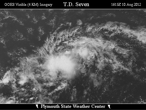
 Zoomed IR Satellite View


![[GIF]](atl_08_gordon12_plot.gif) Track Map
Track Map
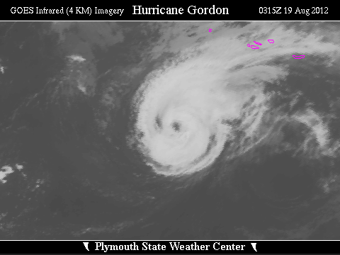
 Large Satellite View
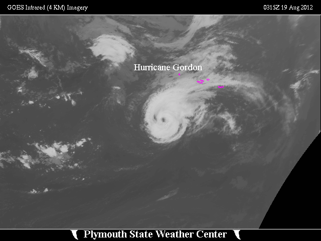
 Zoomed IR Satellite View


![[GIF]](atl_09_isaac12_plot.gif) Track Map
Track Map
 Large Satellite View
 Zoomed IR Satellite View
Radar:
Storm Total Precipitation Estimates:
 New Orleans (LIX)
  Mobile (MOB)
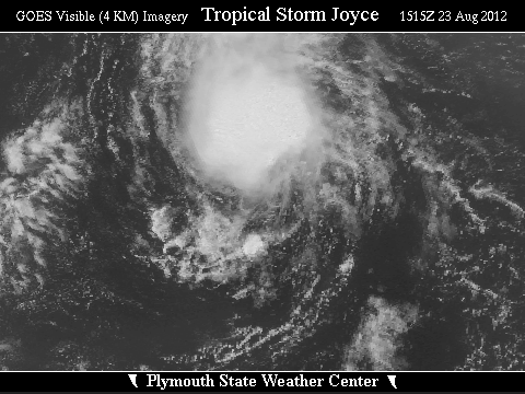

![[GIF]](atl_10_joyce12_plot.gif) Track Map
Track Map
 Large Satellite View
 Zoomed IR Satellite View

![[GIF]](atl_11_kirk12_plot.gif) Track Map
Track Map
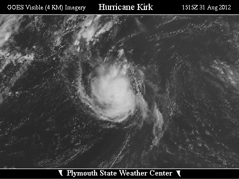
 Large Satellite View
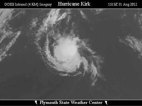 Zoomed IR Satellite View

![[GIF]](atl_12_leslie12_plot.gif) Track Map
Track Map
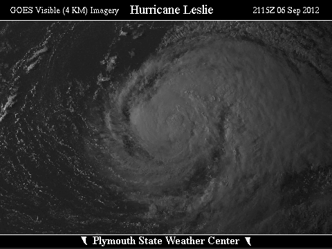
 Large Satellite View
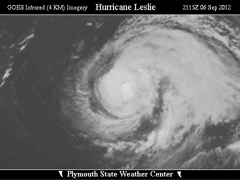 Zoomed IR Satellite View


![[GIF]](atl_13_michael12_plot.gif) Track Map
Track Map
 Large Satellite View
 Zoomed IR Satellite View

![[GIF]](atl_14_nadine12_plot.gif) Track Map
Track Map
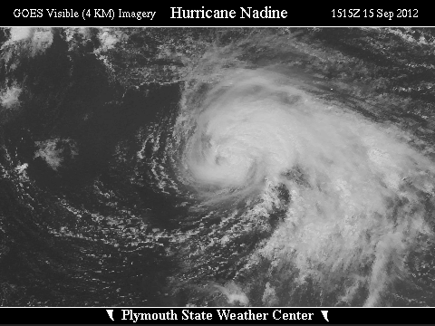
 Large Satellite View
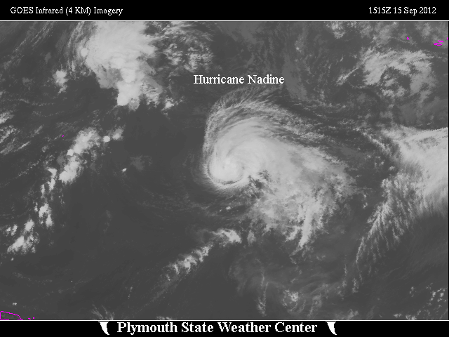
 Zoomed IR Satellite View

![[GIF]](atl_15_oscar12_plot.gif) Track Map
Track Map
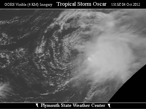
 Large Satellite View
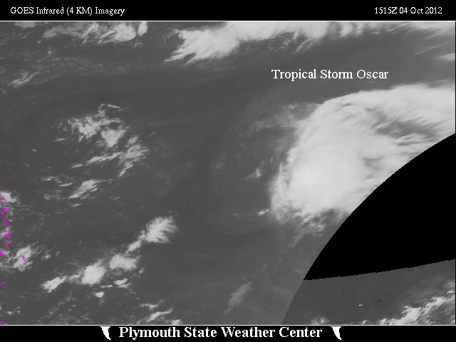
 Zoomed IR Satellite View


![[GIF]](atl_16_patty12_plot.gif) Track Map
Track Map
 Large Satellite View
 Zoomed IR Satellite View

![[GIF]](atl_17_rafael12_plot.gif) Track Map
Track Map
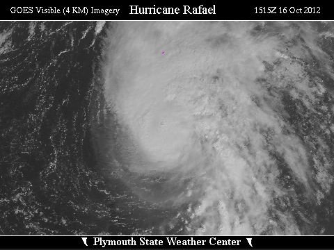
 Large Satellite View
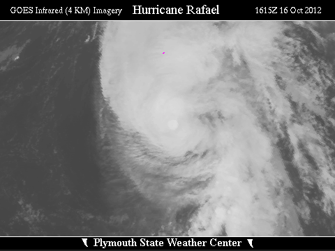 Zoomed IR Satellite View


![[GIF]](atl_18_sandy12_plot.gif) Track Map
Track Map
 Large Satellite View
 Zoomed IR Satellite View
Radar:
 NEXRAD Composite Storm Total Precipitation
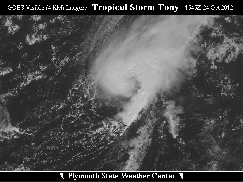
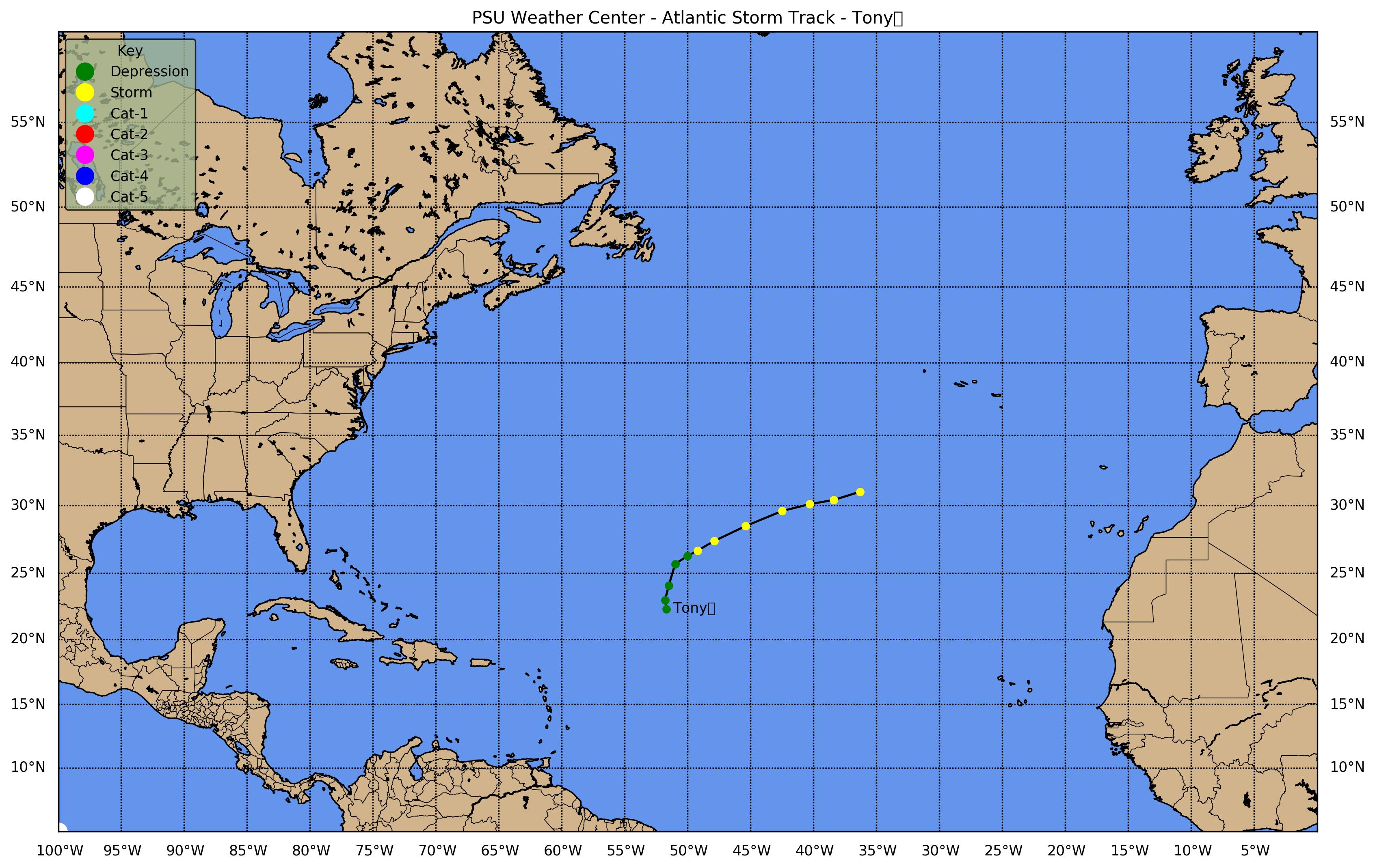
![[GIF]](atl_19_tony12_plot.gif) Track Map
Track Map
 Large Satellite View
 Zoomed IR Satellite View