2016 Atlantic Hurricane Season Name List


![[GIF]](atl_01_alex16_plot.gif) Track Map
Track Map
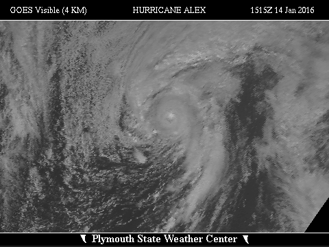
 Large Satellite View
 Zoomed IR Satellite View


![[GIF]](atl_02_bonnie16_plot.gif) Track Map
Track Map
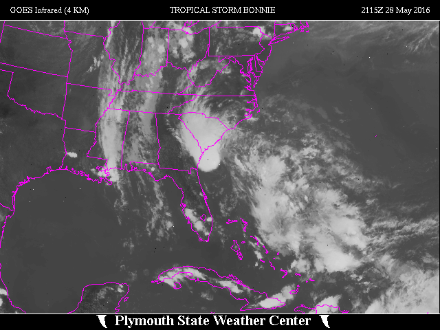 Large Satellite View
 Zoomed IR Satellite View
Radar:
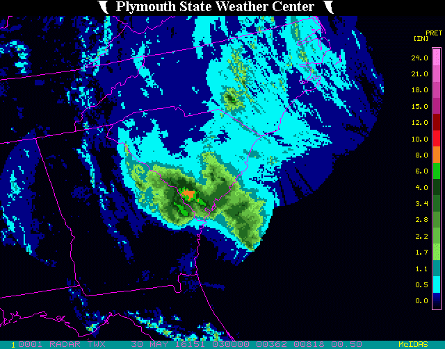 NEXRAD Composite Storm Total Precipitation
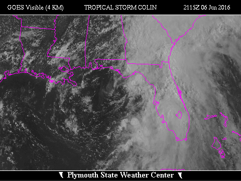

![[GIF]](atl_03_colin16_plot.gif) Track Map
Track Map
 Large Satellite View
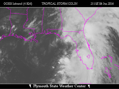 Zoomed IR Satellite View
Radar:
 NEXRAD Composite Storm Total Precipitation
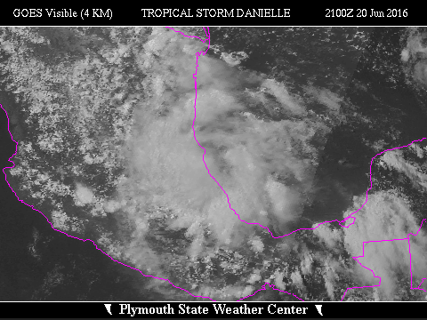

![[GIF]](atl_04_danielle16_plot.gif) Track Map
Track Map
 Large Satellite View
 Zoomed IR Satellite View
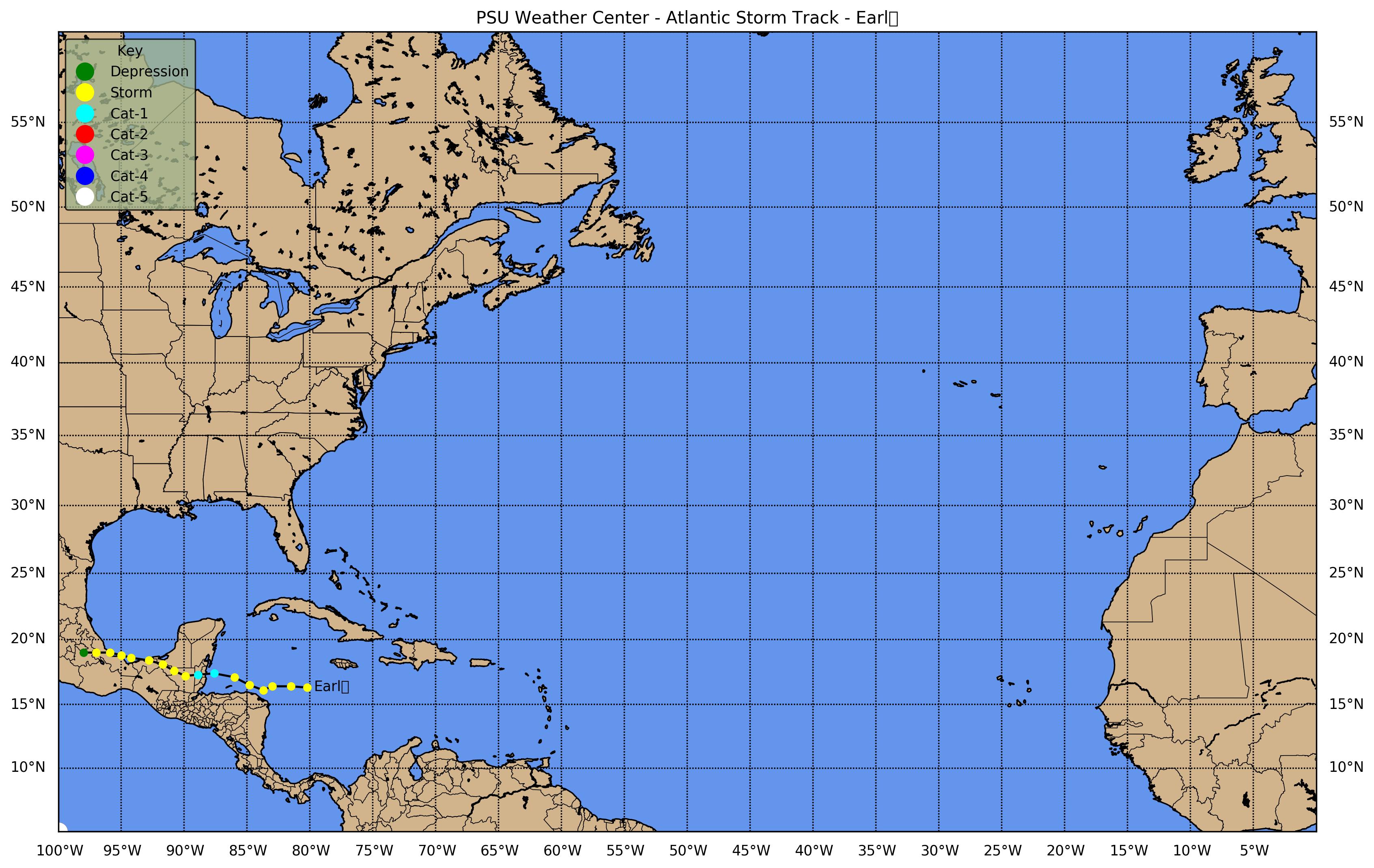
![[GIF]](atl_05_earl16_plot.gif) Track Map
Track Map
 Large Satellite View
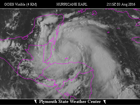
 Zoomed IR Satellite View


![[GIF]](atl_06_fiona16_plot.gif) Track Map
Track Map Large Satellite View
 Zoomed IR Satellite View


![[GIF]](atl_07_gaston16_plot.gif) Track Map
Track Map
 Large Satellite View
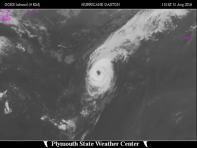
 Zoomed IR Satellite View


![[GIF]](atl_08_eight16_plot.gif) Track Map
Track Map
 Large Satellite View
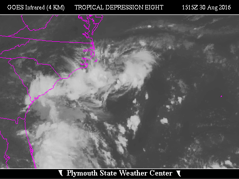 Zoomed IR Satellite View


![[GIF]](atl_09_hermine16_plot.gif) Track Map
Track Map
 Large Satellite View
 Zoomed IR Satellite View
Radar:
 NEXRAD Composite Storm Total Precipitation
Radial Velocities:


![[GIF]](atl_10_ian16_plot.gif) Track Map
Track Map
 Large Satellite View
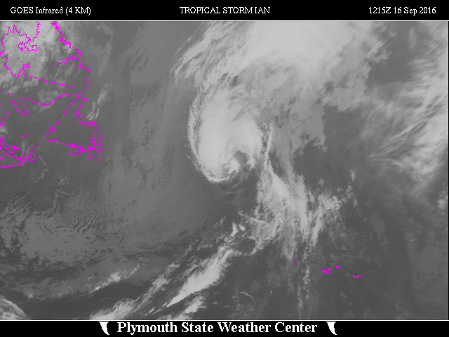
 Zoomed IR Satellite View


![[GIF]](atl_11_julia16_plot.gif) Track Map
Track Map
 Large Satellite View
 Zoomed IR Satellite View

![[GIF]](atl_12_karl16_plot.gif) Track Map
Track Map
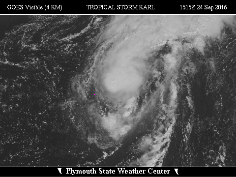
 Large Satellite View
 Zoomed IR Satellite View

![[GIF]](atl_13_lisa16_plot.gif) Track Map
Track Map
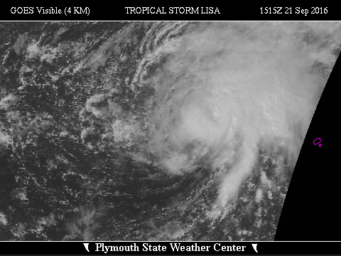
 Large Satellite View
 Zoomed IR Satellite View

![[GIF]](atl_14_matthew16_plot.gif) Track Map
Track Map
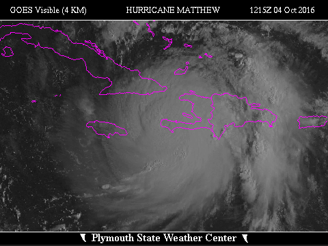
 Large Satellite View
 Zoomed IR Satellite View
Radar:
 NEXRAD Composite Storm Total Precipitation
Radial Velocities:


![[GIF]](atl_15_nicole16_plot.gif) Track Map
Track Map
 Large Satellite View
 Zoomed IR Satellite View

![[GIF]](atl_16_otto16_plot.gif) Track Map
Track Map
 Large Satellite View
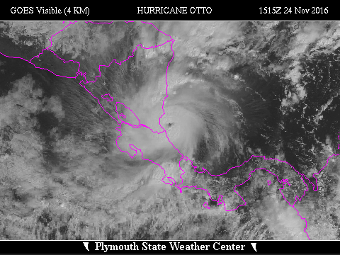
 Zoomed IR Satellite View