2017 Atlantic Hurricane Season Name List


![[GIF]](atl_01_arlene17_plot.gif) Track Map
Track Map
 Large Satellite View
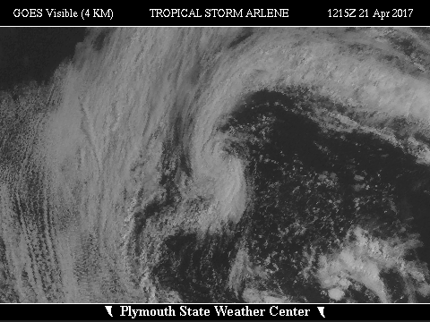
 Zoomed IR Satellite View


![[GIF]](atl_02_bret17_plot.gif) Track Map
Track Map
 Large Satellite View
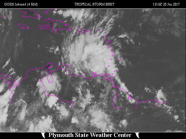
 Zoomed IR Satellite View


![[GIF]](atl_03_cindy17_plot.gif) Track Map
Track Map
 Large Satellite View
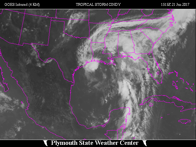
 Zoomed IR Satellite View
Radar:
 NEXRAD Composite Storm Total Precipitation

![[GIF]](atl_04_four17_plot.gif) Track Map
Track Map
 Large Satellite View
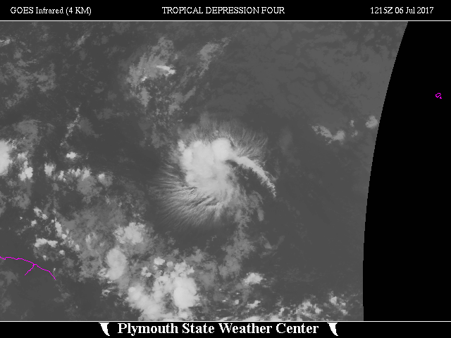
 Zoomed IR Satellite View


![[GIF]](atl_05_don17_plot.gif) Track Map
Track Map
 Large Satellite View
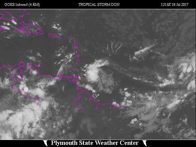
 Zoomed IR Satellite View


![[GIF]](atl_06_emily17_plot.gif) Track Map
Track Map
 Large Satellite View
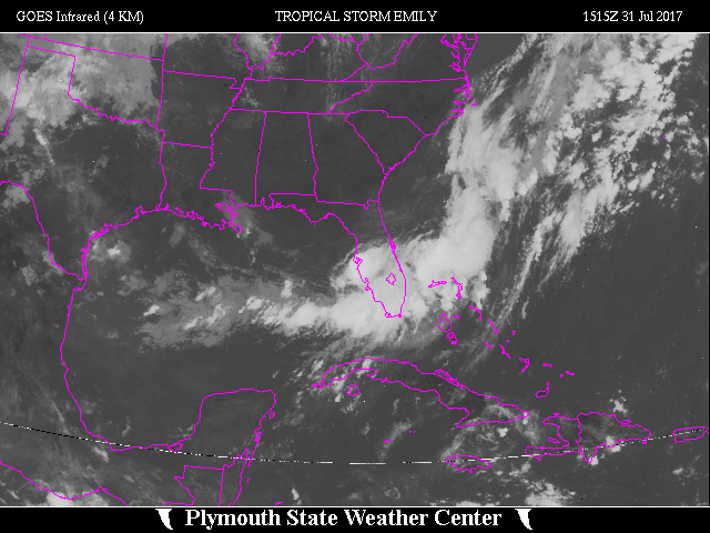
 Zoomed IR Satellite View

![[GIF]](atl_07_franklin17_plot.gif) Track Map
Track Map
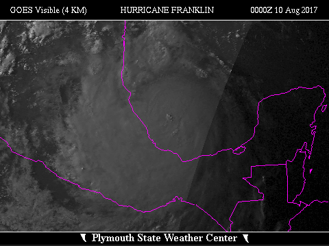
 Large Satellite View
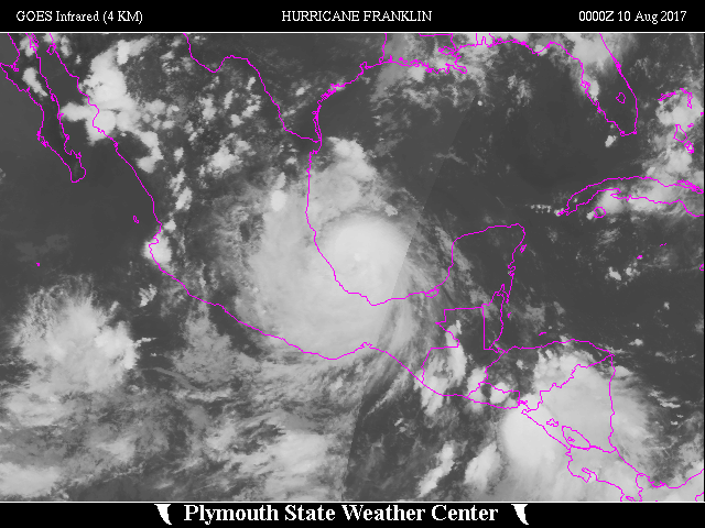
 Zoomed IR Satellite View

![[GIF]](atl_08_gert17_plot.gif) Track Map
Track Map
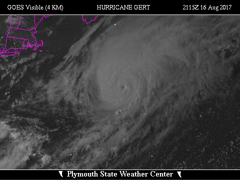
 Large Satellite View
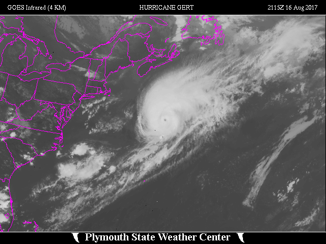
 Zoomed IR Satellite View

![[GIF]](atl_09_harvey-1-17_plot.gif) Track Map
Track Map
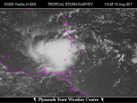
 Large Satellite View
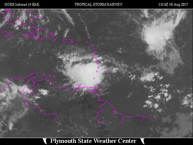
 Zoomed IR Satellite View


![[GIF]](atl_09_harvey-2-17_plot.gif) Track Map
Track Map
 Large Satellite View
 Zoomed IR Satellite View
Radar:

![[GIF]](atl_10_ten17_plot.gif) Track Map
Track Map
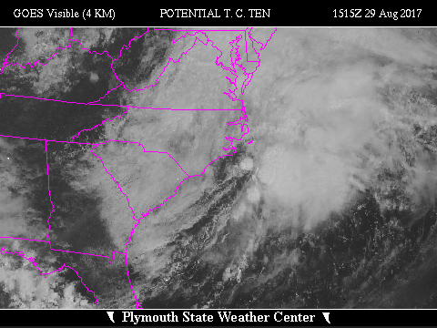
 Large Satellite View
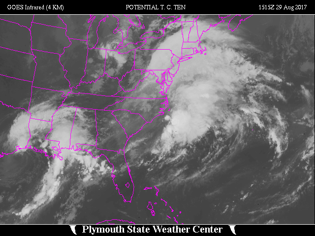
 Zoomed IR Satellite View

![[GIF]](atl_11_irma17_plot.gif) Track Map
Track Map
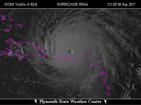
 Large Satellite View
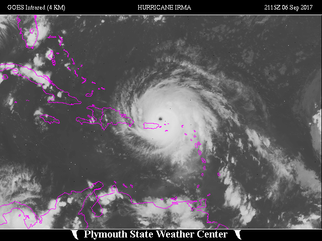
 Zoomed IR Satellite View
Radar - San Juan (JUA):
 Storm Total Precipitation Summary
Continental US:
Radial Velocity:

![[GIF]](atl_12_jose17_plot.gif) Track Map
Track Map
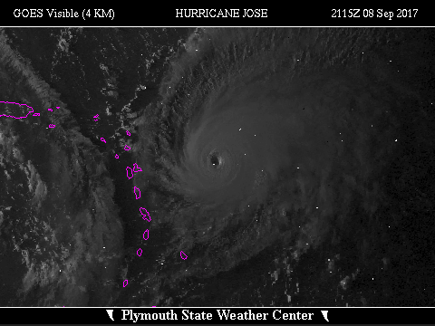
 Large Satellite View
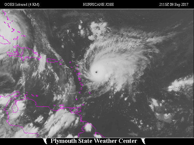
 Zoomed IR Satellite View
Radar:


![[GIF]](atl_13_katia17_plot.gif) Track Map
Track Map
 Large Satellite View
 Zoomed IR Satellite View


![[GIF]](atl_14_lee-1-17_plot.gif) Track Map
Track Map
 Large Satellite View
 Zoomed IR Satellite View

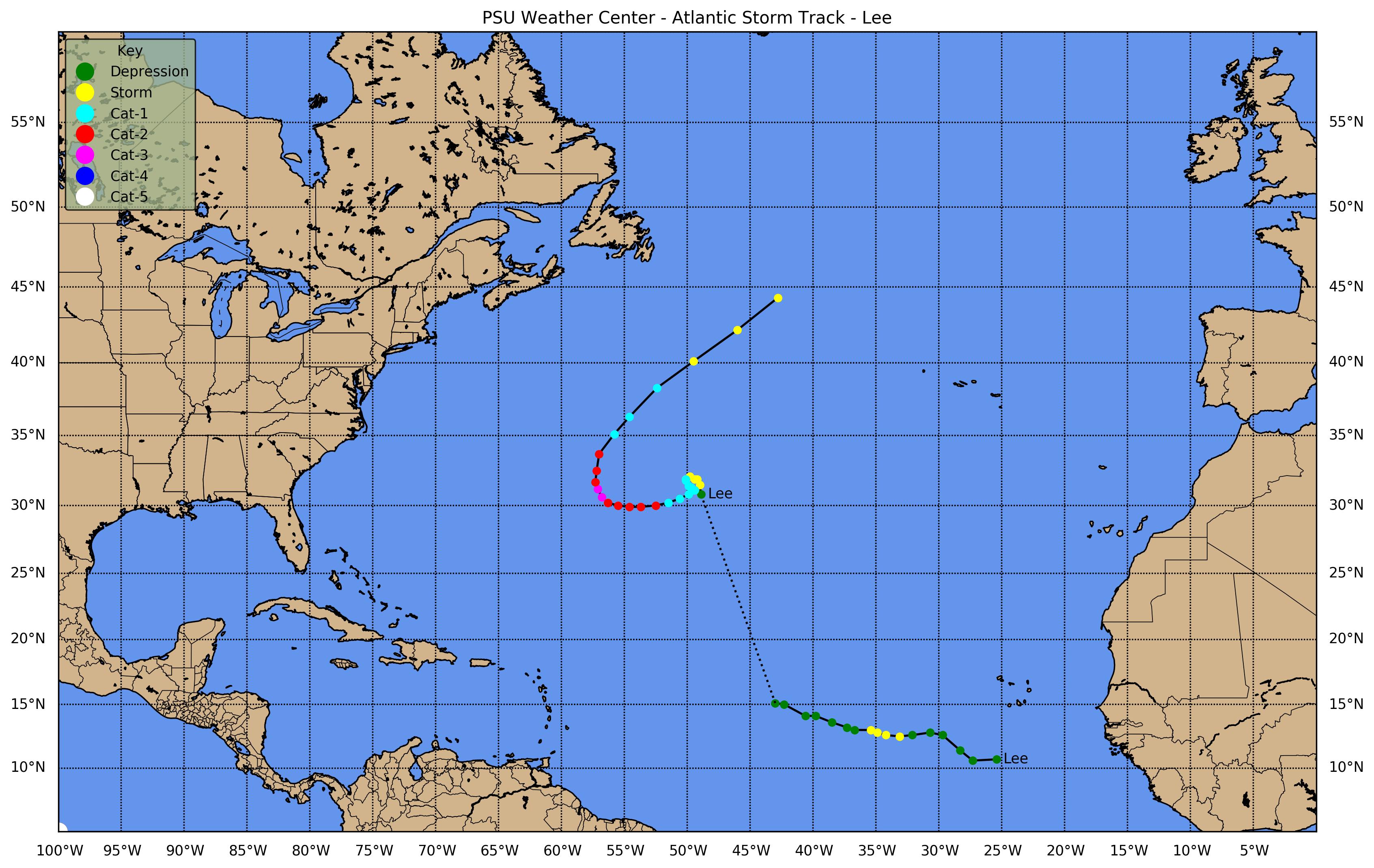
![[GIF]](atl_14_lee-2-17_plot.gif) Track Map
Track Map
 Large Satellite View
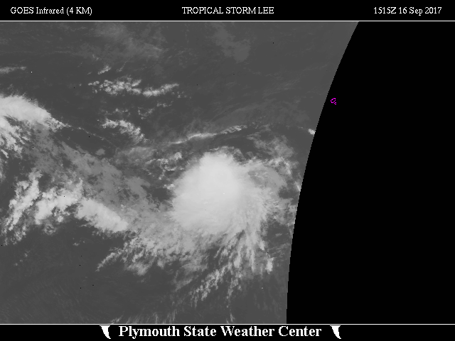
 Zoomed IR Satellite View


![[GIF]](atl_15_maria17_plot.gif) Track Map
Track Map
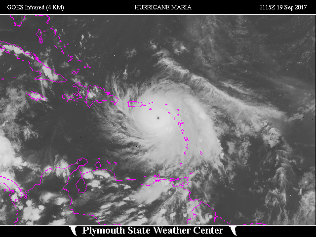 Large Satellite View
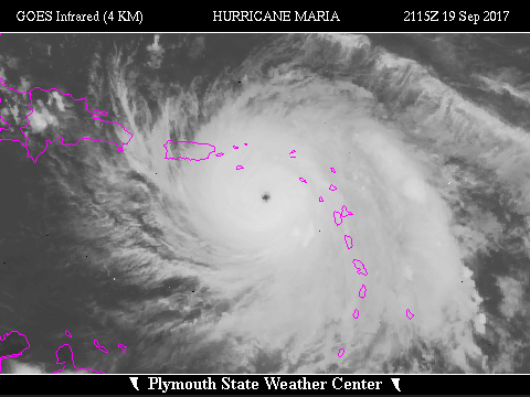 Zoomed IR Satellite View
Radar - San Juan (JUA):
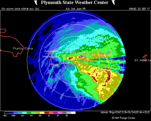 Storm Total Precipitation
Note: San Juan (JUA) radar went down from impacts of Hurricane Maria at 0949Z on 20 Sep 2017


![[GIF]](atl_16_nate17_plot.gif) Track Map
Track Map
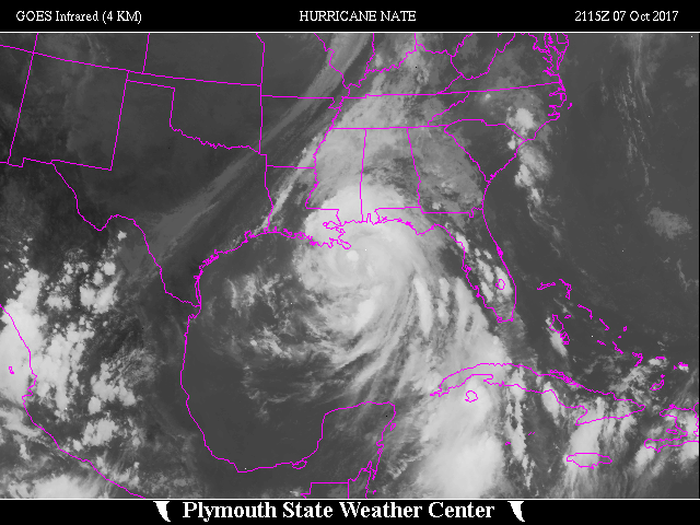 Large Satellite View
 Zoomed IR Satellite View
Radar:

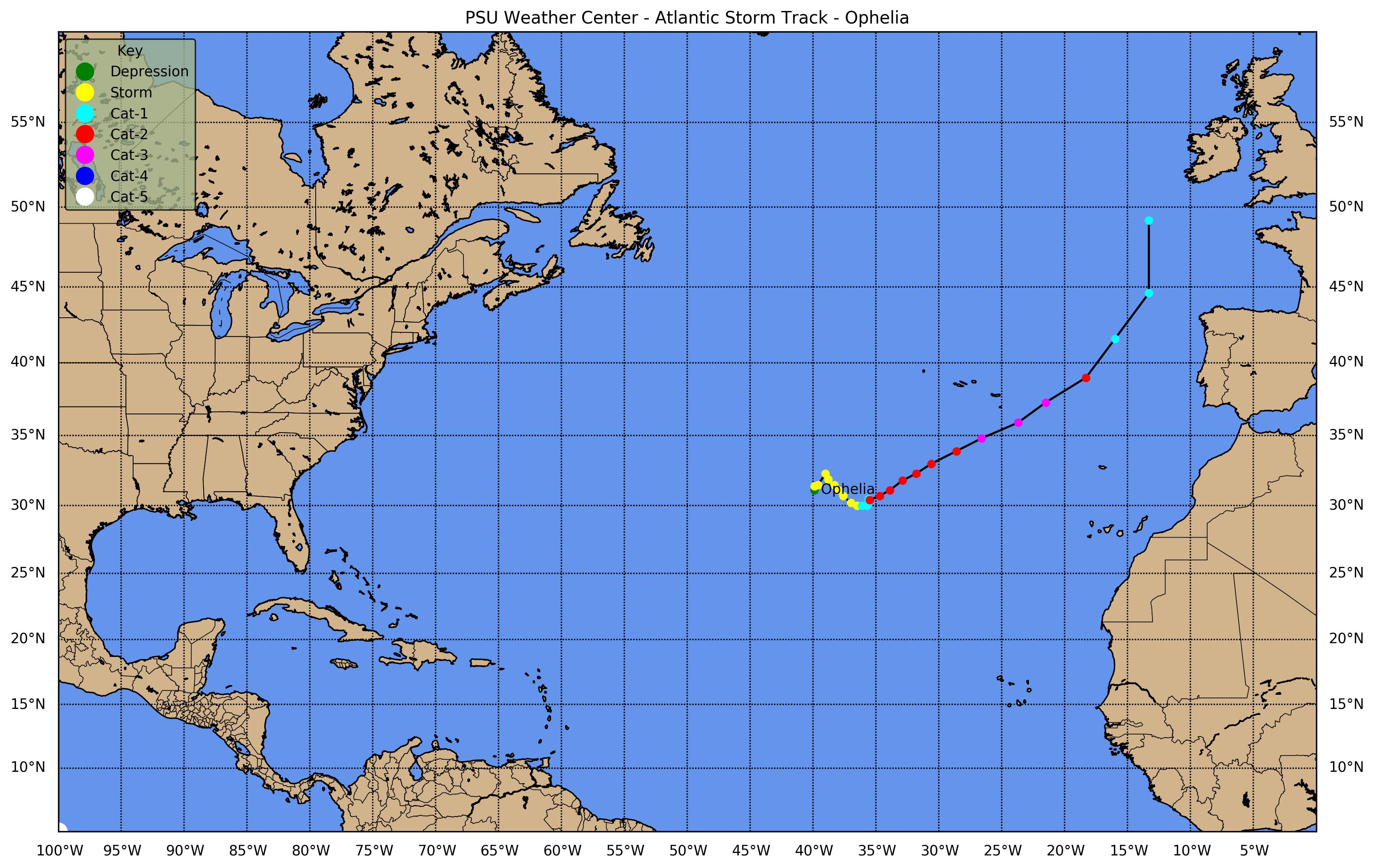
![[GIF]](atl_17_ophelia17_plot.gif) Track Map
Track Map
 Large Satellite View
 Zoomed IR Satellite View


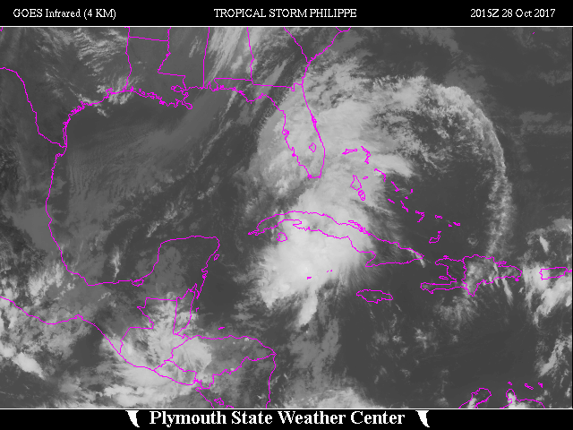
![[GIF]](atl_18_philippe17_plot.gif) Track Map
Track Map
 Large Satellite View
 Zoomed IR Satellite View
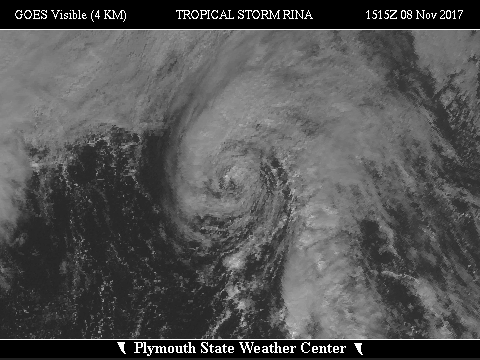

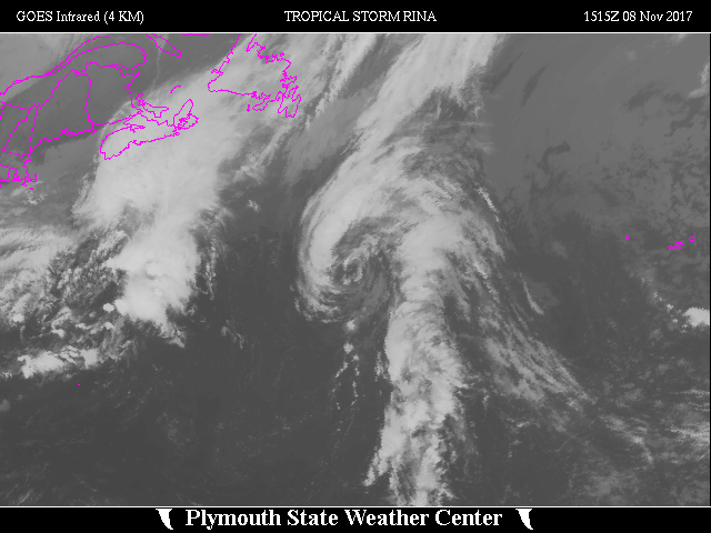
![[GIF]](atl_19_rina17_plot.gif) Track Map
Track Map
 Large Satellite View
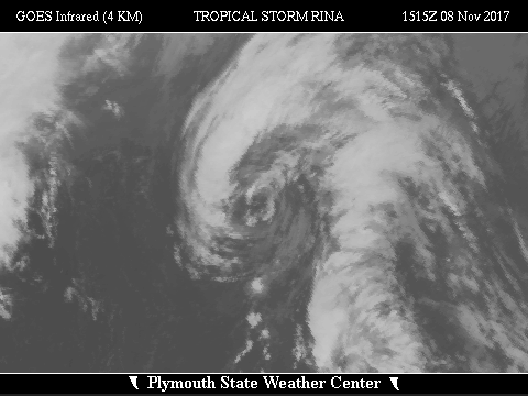 Zoomed IR Satellite View