2000 Atlantic Hurricane Season Name List


![[GIF]](atl_01_one00_plot.gif) Track Map
Track Map
 Large Satellite View


![[GIF]](atl_02_two00_plot.gif) Track Map
Track Map


![[GIF]](atl_03_alberto00_plot.gif) Track Map
Track Map
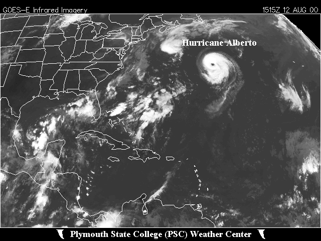 Large Satellite View
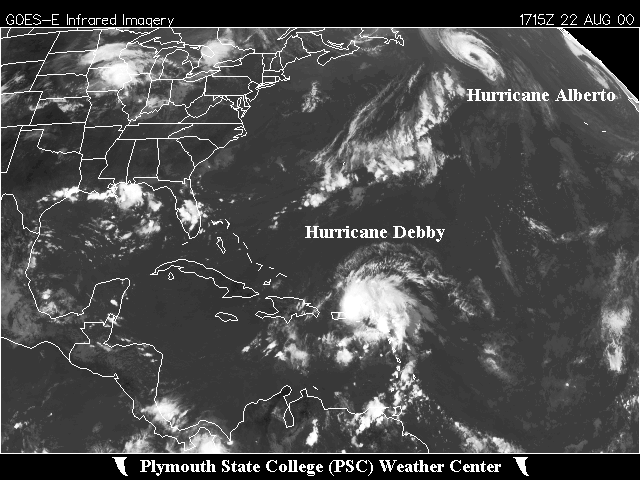
 Zoomed IR Satellite View


![[GIF]](atl_04_four00_plot.gif) Track Map
Track Map
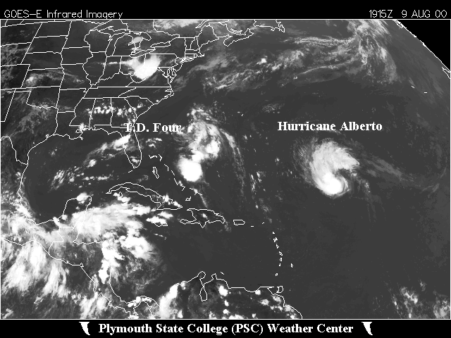 Large Satellite View
 Zoomed IR Satellite View


![[GIF]](atl_05_beryl00_plot.gif) Track Map
Track Map
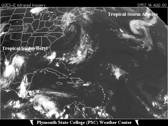 Large Satellite View
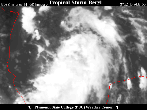 Zoomed IR Satellite View


![[GIF]](atl_06_chris00_plot.gif) Track Map
Track Map
 Large Satellite View
 Zoomed IR Satellite View


![[GIF]](atl_07_debby00_plot.gif) Track Map
Track Map
 Large Satellite View
 Zoomed IR Satellite View

![[GIF]](atl_08_ernesto00_plot.gif) Track Map
Track Map
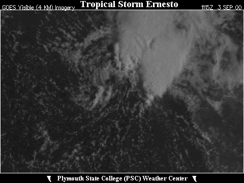
 Large Satellite View
 Zoomed IR Satellite View

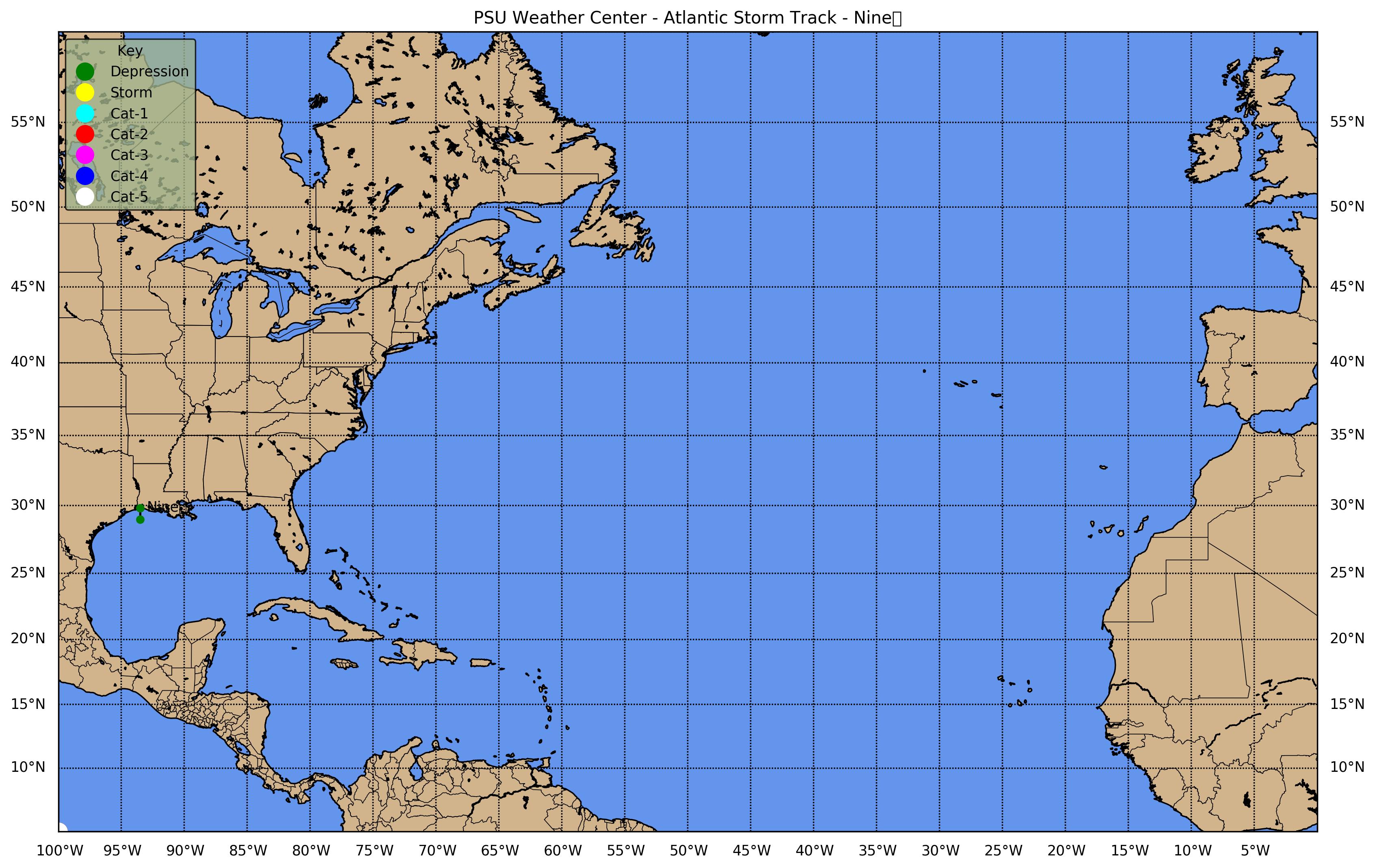
![[GIF]](atl_09_nine00_plot.gif) Track Map
Track Map
 Large Satellite View


![[GIF]](atl_10_florence00_plot.gif) Track Map
Track Map
 Large Satellite View
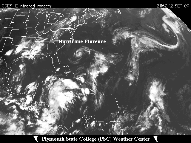
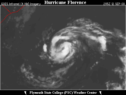 Zoomed IR Satellite View


![[GIF]](atl_11_gordon00_plot.gif) Track Map
Track Map
 Large Satellite View
 Zoomed IR Satellite View

![[GIF]](atl_12_helene00_plot.gif) Track Map
Track Map
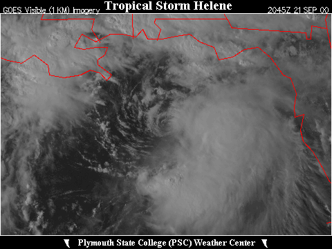
 Large Satellite View
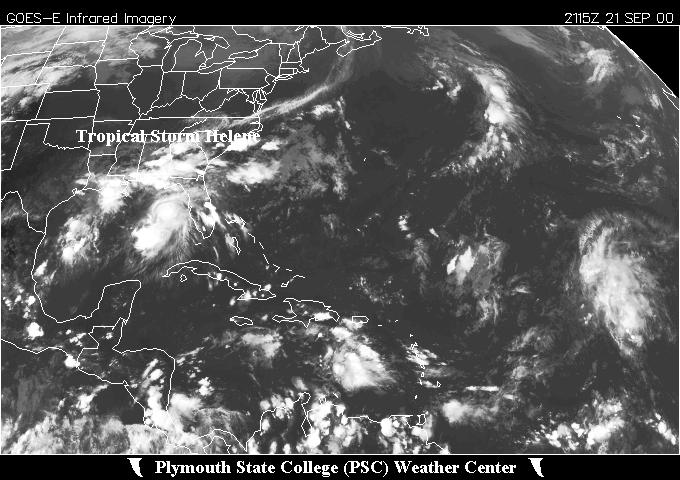
 Zoomed IR Satellite View


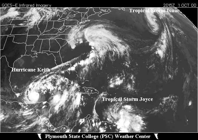
![[GIF]](atl_13_isaac00_plot.gif) Track Map
Track Map
 Large Satellite View
 Zoomed IR Satellite View


![[GIF]](atl_14_joyce00_plot.gif) Track Map
Track Map
 Large Satellite View
 Zoomed IR Satellite View


![[GIF]](atl_15_keith00_plot.gif) Track Map
Track Map
 Large Satellite View
 Zoomed IR Satellite View
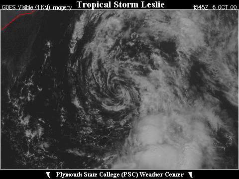

![[GIF]](atl_16_leslie00_plot.gif) Track Map
Track Map
 Large Satellite View
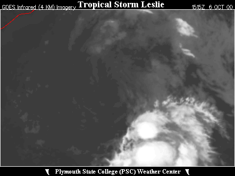 Zoomed IR Satellite View


![[GIF]](atl_17_michael00_plot.gif) Track Map
Track Map
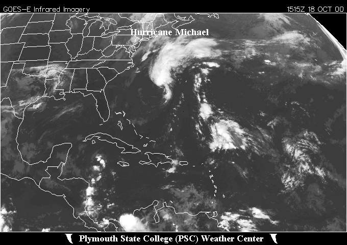 Large Satellite View
 Zoomed IR Satellite View


![[GIF]](atl_18_nadine00_plot.gif) Track Map
Track Map
 Large Satellite View
 Zoomed IR Satellite View